Terrain Editions
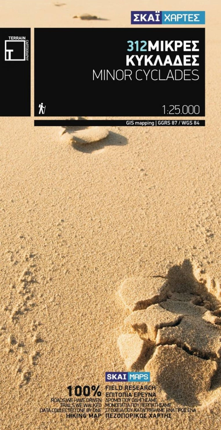
Minor Cyclades Island Map (#312)
Minor Cyclades Island Map (#312)
Couldn't load pickup availability
- SKU: TERR_312_MIN_CYC_9
The Minor Cyclades is an island complex consisting of five small inhabited islands (Pano Koufonisi, Kato Koufonisi, Keros, Heraklia, Schinousa and Donousa) and more than 30 islets and rocky outcrops, located in the sea region between the islands of Naxos, Amorgos and Ios. These islands are an enchanting destination for those sailing with their own boat, as well as for hikers, nature lovers and all those seeking serene places with welcoming local people, and gorgeous sandy beaches.
TERRAIN’S Minor Cyclades map shows all the beaches with their distinct features, the walking paths with point-to-point distances, and all sights and tourist attractions. On the reverse side you will find an illustrated mini travel guide with information about the islands’ myths and history and places to visit. Also included are detailed descriptions of 9 recommended hiking trails.
- Type: Folded Map
- Subtype: Hiking
- Language: English, Greek
- Publication Date: 2009-06-01
- Scale: 1:40.000 /1:25.000
- Regions Covered: Balkans, Europe, Mediterranean Sea
- Countries Covered: Greece
- ISBN: 9789606845772
- MPN: 312
- Folded Size: 5" (W) x 9.75" (H)
- Unfolded Size: N/A
- Weight: 3 oz


