1
/
of
1
Franklin Maps
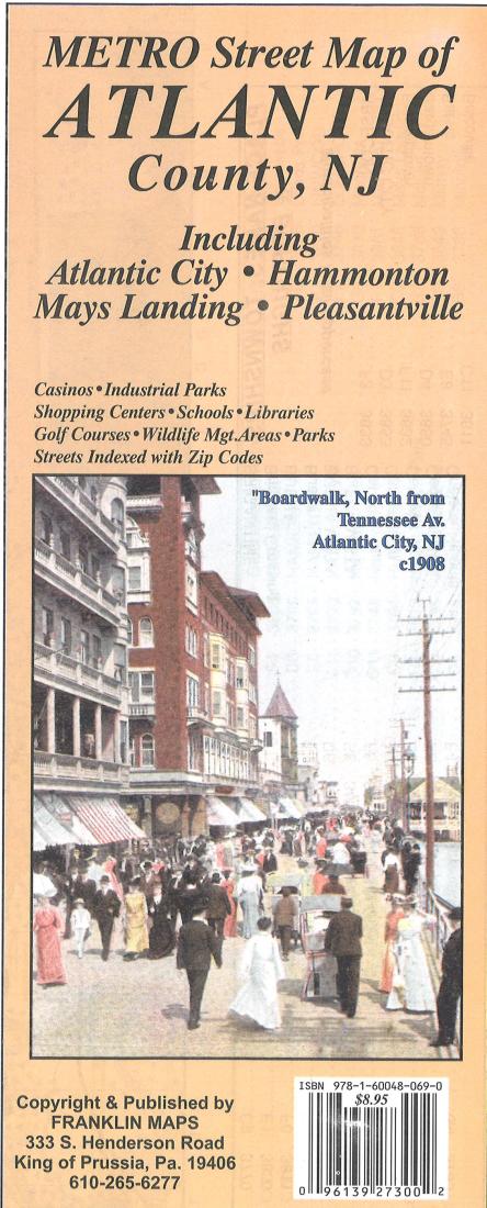
Metro Street Map of Atlantic County, NJ : Including Atlantic City, Hammonton, Mays Landing, Pleasantville
Metro Street Map of Atlantic County, NJ : Including Atlantic City, Hammonton, Mays Landing, Pleasantville
Regular price
$8.95 USD
Regular price
Sale price
$8.95 USD
Unit price
/
per
Shipping calculated at checkout.
Couldn't load pickup availability
- SKU: FRAN_ATLA_6a
- Franklin Maps Metro Street Map of Atlantic County, NJ includes Atlantic City, Hammonton, Mays Landing and Pleasantville. Also features casinos, industrial parks, shopping centers, schools, libraries, golf courses, wildlife management areas, parks and streets indexed with zip codes.
- Type: Folded Map
- Subtype: County Maps
- Language: English
- Publication Date: 2006-06-01
- Scale: 1:36,912
- Regions Covered: Mid-Atlantic/Northeastern U.S., North America
- Countries Covered: United States
- States Covered: New Jersey
- ISBN: 9781600480690
- Folded Size: 5.12" (W) x 9.84" (H)
- Unfolded Size: 35.43" (W) x 48.82" (H)
- Weight: 3.1 oz


