1
/
of
1
United States Forest Service
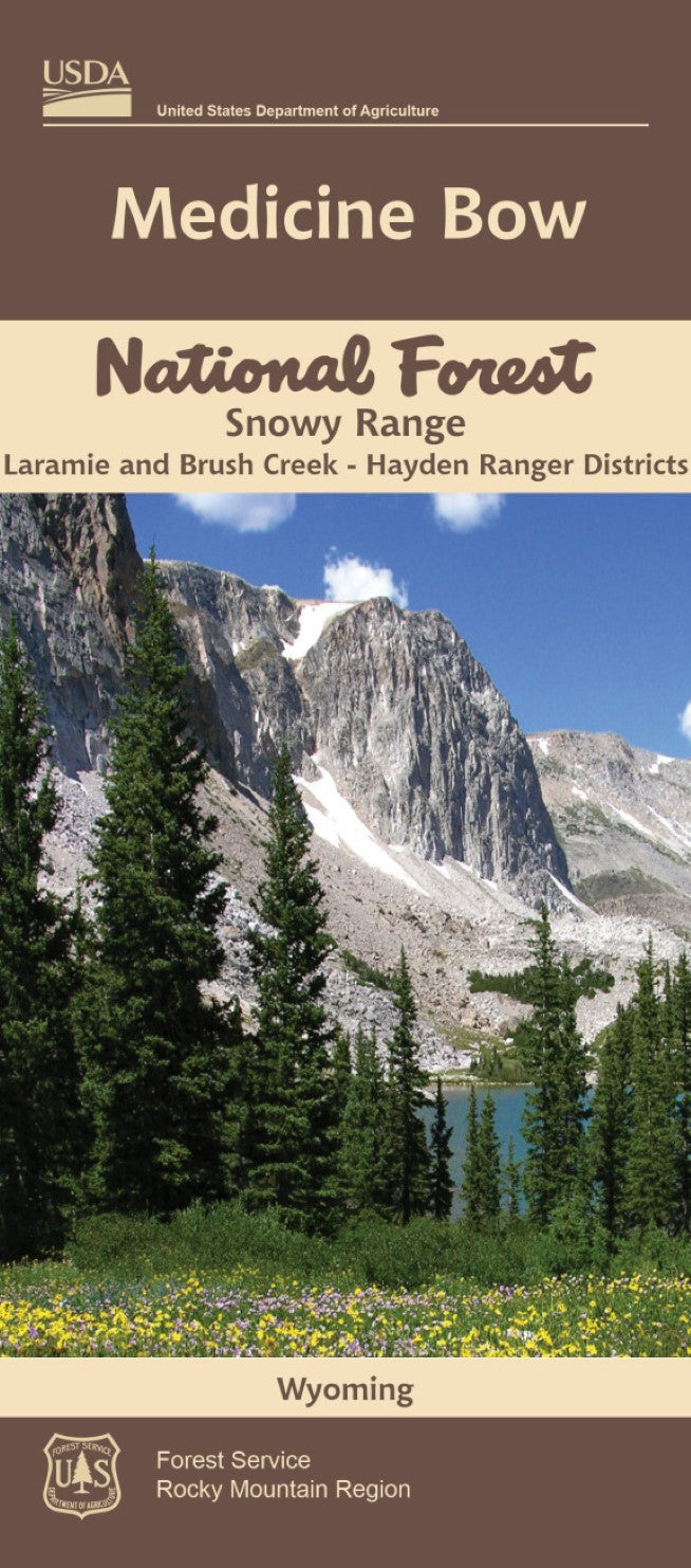
Medicine Bow National Forest : Snowy Range
Medicine Bow National Forest : Snowy Range
Regular price
$19.99 USD
Regular price
Sale price
$19.99 USD
Unit price
/
per
Shipping calculated at checkout.
Couldn't load pickup availability
- SKU: USFS_MEDICINE_SNOWY_16
- This waterproof map, at the scale of 1:126,720, offers detailed coverage of the Laramie Peak Unit of the Medicine Bow National Forest, in Wyoming. It does not cover the entire Medicine Bow NF. The map shows hiking trails, USFS roads, etc. It does not have contour lines but has numerous spot heights. The Laramie Peak area is located in east central Wyoming stretching from southeast of Casper to west of Wheatland. This portion of the Medicine Bow National Forest is part of the Laramie Range and is dominated by the jagged 10,274 foot crest of Laramie Peak.
- Type: Folded Map
- Subtype: Park
- Language: English
- Publication Date: 2016-06-01
- Scale: 1:126,720
- Regions Covered: North America, North-central U.S./Great Plains
- Countries Covered: United States
- States Covered: Wyoming
- ISBN: 9781593511388
- MPN: 516822
- Folded Size: 4" (W) x 9" (H)
- Unfolded Size: 27" (W) x 32" (H)
- Weight: 2.9 oz


