1
/
of
1
Adventure Maps
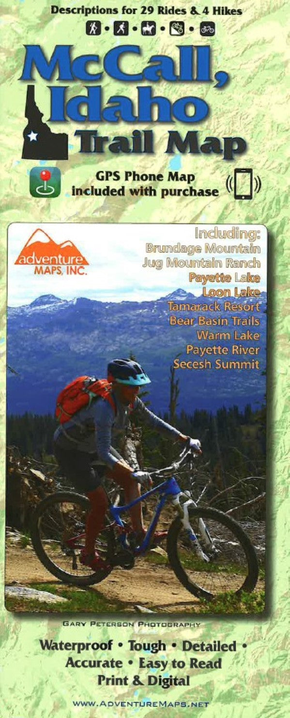
McCall, Idaho Trail Map
McCall, Idaho Trail Map
Regular price
$13.99 USD
Regular price
Sale price
$13.99 USD
Unit price
/
per
Shipping calculated at checkout.
Low stock
Couldn't load pickup availability
- SKU: ADV_MCCALL_23
- The McCall, Idaho Adventure Map is a waterproof, topographic (lat/long,UTM grids) trail map that includes route descriptions for trails in the McCall area including, Payette Lake, Loon Lake, Tamarack Resort, Bear Basin Trails, Warm Lake, Payette River, Secesh Summit, Brundage Mountain, and Jug Mountain Ranch Trails. It includes descriptions of 22 mountain bike rides, 5 road bike rides, and 3 hikes. Fishermen, hunters and OHV riders will also find this map very useful as it accurately shows all streams, lakes, roads, OHV routes and land ownership boundaries. This map includes blowups of the Bear Basin Trails, Jug Mtn Ranch Trails, and Tamarack Foothills Trails.
- Type: Folded Map
- Subtype: Hiking
- Language: English
- Publication Date: 2023-06-01
- Scale: 1:63,360
- Regions Covered: North America, North-central U.S./Great Plains
- Countries Covered: United States
- States Covered: Idaho
- ISBN: 9781933783918
- UPC: 656468002362
- Folded Size: 4.33" (W) x 9.84" (H)
- Unfolded Size: 38.98" (W) x 26.77" (H)
- Weight: 2.1 oz


