Kompass
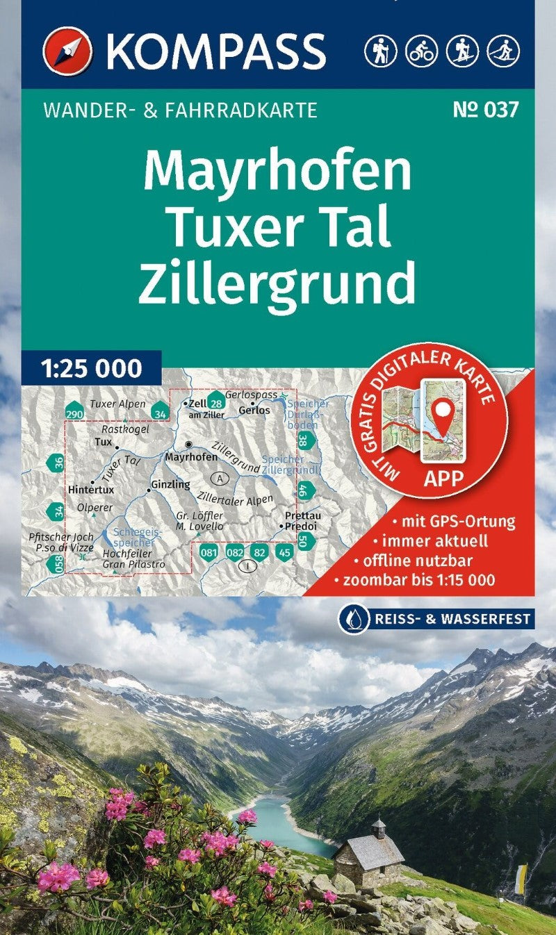
Mayrhofen - Tuxer Tal - Zillergrund Hiking Map
Mayrhofen - Tuxer Tal - Zillergrund Hiking Map
Couldn't load pickup availability
- SKU: KOM_037_MAY_26
Discover the spectacular mountain landscapes of the Mayrhofen, Tux Valley, and Zillergrund region with a detailed KOMPASS hiking map designed for hiking, cycling, and a wide range of outdoor activities. Easy to read while packed with practical information, this map is an excellent companion for planning adventures and navigating the mountains.
Detailed Cartography for Outdoor Adventures
The map features precise cartography with official hiking trails, including trail names and route numbers, as well as cycling routes and trails, via ferratas, mountain huts and restaurants, parking areas, public transportation, ski touring routes, cross-country ski trails, springs, swimming areas, and much more.
Contour lines, vegetation, rock formations, and shaded relief provide an intuitive picture of the terrain, helping you understand the landscape and elevation as you plan and follow your route.
Plan Your Route with Confidence
Whether you're setting out on a mountain hike, planning a cycling tour, or simply exploring the region, the map makes it easy to discover new destinations and stay oriented along the way. The detailed information also helps you identify useful facilities and points of interest throughout the area.
Key Features:
- 1:25,000 scale — 1 cm on the main map represents 250 meters in the landscape
- Official hiking trails with names and route numbers
- Cycling routes and trails
- Via ferratas and mountain routes
- Mountain huts, restaurants, parking areas, and public transportation
- Ski touring routes and cross-country ski trails
- Springs, swimming areas, and other outdoor features
- Detailed contour lines, vegetation, rock formations, and shaded relief
- Tear-resistant and weather-resistant paper for dependable use outdoors
- Map coverage available offline in the KOMPASS Hiking Maps app
The Zillertal is famous for its winter ski resorts, but when the snow disappears, the region transforms into a spectacular hiking destination. Lush green valleys, dramatic alpine scenery, and towering peaks provide an ideal setting for summer adventures. Whether you're exploring around Mayrhofen, venturing into the Tux Valley, or heading deeper into Zillergrund, this KOMPASS map helps you make the most of the region's extensive network of mountain trails.
- Type: Folded Map
- Subtype: Hiking
- Language: English, German, Italian
- Publication Date: 2026-06-01
- Scale: 1:50000
- Regions Covered: Central Europe, Europe
- Countries Covered: Austria
- ISBN: 9783991545156
- MPN: 37
- Folded Size: 4.72" (W) x 7.87" (H)
- Unfolded Size: 42.13" (W) x 34.65" (H)
- Weight: 6.3 oz