1
/
of
1
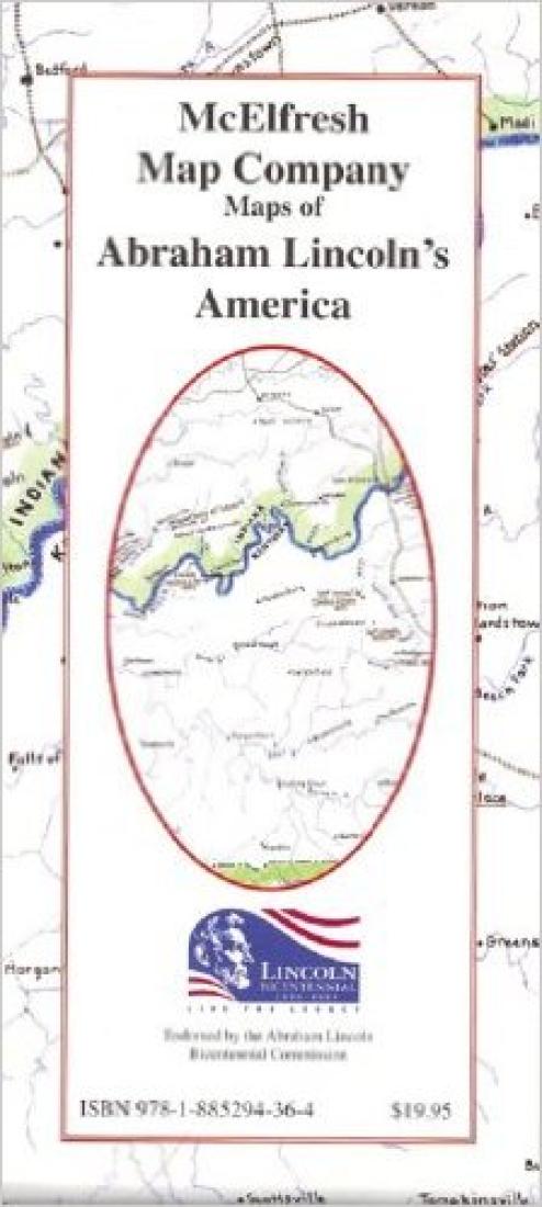
McElfresh Map Co.
Maps of Abraham Lincoln's America
Maps of Abraham Lincoln's America
Regular price
$19.95 USD
Regular price
Sale price
$19.95 USD
Unit price
/
per
Shipping calculated at checkout.
Low stock
Couldn't load pickup availability
- SKU: MEM_ABRAHAM_9
- Many of the details of Abraham Lincoln's life are well known, but few people would be able to locate where the notable incidents took place. Now the milieu of the Lincoln of the Midwest is mapped out in great detail and the life of the presidential Lincoln is charted as well. Scale: 1/2 inch = 13 1/2 miles Other Images: Large scale map of New Salem Illinois, schematic of the second floor of Lincoln's white house, and other rare maps and photos from the Lincoln era. Narrative includes an elaborate description of Lincoln's office. Endorsed by the Abraham Lincoln Bicentennial Commission.
- Type: Folded Map
- Subtype: Historical
- Language: English
- Publication Date: 2009-06-01
- Scale: 1:1,710,720
- Regions Covered: Midwest, North America, Southern U.S.
- Countries Covered: United States
- States Covered: Illinois, Indiana, Kentucky, Michigan, Ohio
- ISBN: 9781885294364
- Folded Size: 3.94" (W) x 9.06" (H)
- Unfolded Size: 23.23" (W) x 20.47" (H)
- Weight: 2.2 oz


