1
/
of
1
International Map Company
Maps and Guide to the Chihuahua-Pacific Railroad
Maps and Guide to the Chihuahua-Pacific Railroad
Regular price
$6.95 USD
Regular price
Sale price
$6.95 USD
Unit price
/
per
Shipping calculated at checkout.
Couldn't load pickup availability
- SKU: IMC_CHI_RR_8
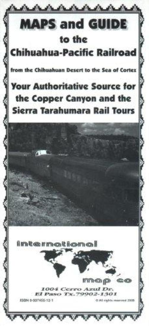
- Mexico: Chihuahua-Pacific Railroad Maps and Guide is an essential instrument for travel on the CHEPE railway line through the Copper Canyon. This line traverses some of the most rugged and scenic country in North America. It includes four maps of the route and a diagram of its vertical profile. There is background information on the region and on places of interest along the route, plus a basic street map of Chihuahua. Black & White, text in English.
- Type: Folded Map
- Subtype: Railway
- Language: English
- Publication Date: 2008-06-01
- Scale: Scale not provided
- Regions Covered: North America, Pacific Ocean
- Countries Covered: Mexico
- States Covered: Chihuahua, Sinaloa
- ISBN: 9780937455128
- Folded Size: 3.94" (W) x 8.66" (H)
- Unfolded Size: N/A
- Weight: .9 oz


