1
/
of
1
MaTu Publishing Ltd.
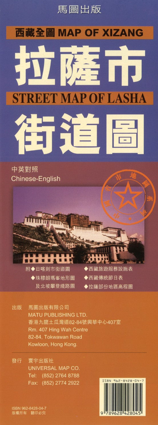
Map of Xizang, Street Map of Lasha
Map of Xizang, Street Map of Lasha
Regular price
$14.99 USD
Regular price
Sale price
$14.99 USD
Unit price
/
per
Shipping calculated at checkout.
Couldn't load pickup availability
- SKU: MATU_XIZANG_4
- Features a detailed map of Lhasa city on one side, indicating sub-district and area names, bus routes and terminals, railway lines and parks. Symbols marks all public and religious buildings including hospitals, police stations and post-offices, leisure and sport facilities (cinemas, swimming pools, stadium, etc.), and various accommodation facilities. The other side features a map of Xizang Province (China) that marks the various municipality divisions with administrative boundaries, three kinds of roads and tracks, railways, population density, peak heights, hot springs, lakes and rivers. There are also bus and train information and telephone numbers of various tourist boards, hotels and restaurants. Information text is in Chinese only, many street, building, and town names are bilingual English/Chinese.
- Type: Folded Map
- Subtype: Road
- Language: Chinese (Simplified)
- Publication Date: 2004-06-01
- Regions Covered: Asia, East Asia
- Countries Covered: China
- States Covered: Xizang A. R.
- ISBN: 9789628428045
- Folded Size: 4" (W) x 10.5" (H)
- Unfolded Size: N/A
- Weight: 2 oz


