1
/
of
1
National Geographic Maps
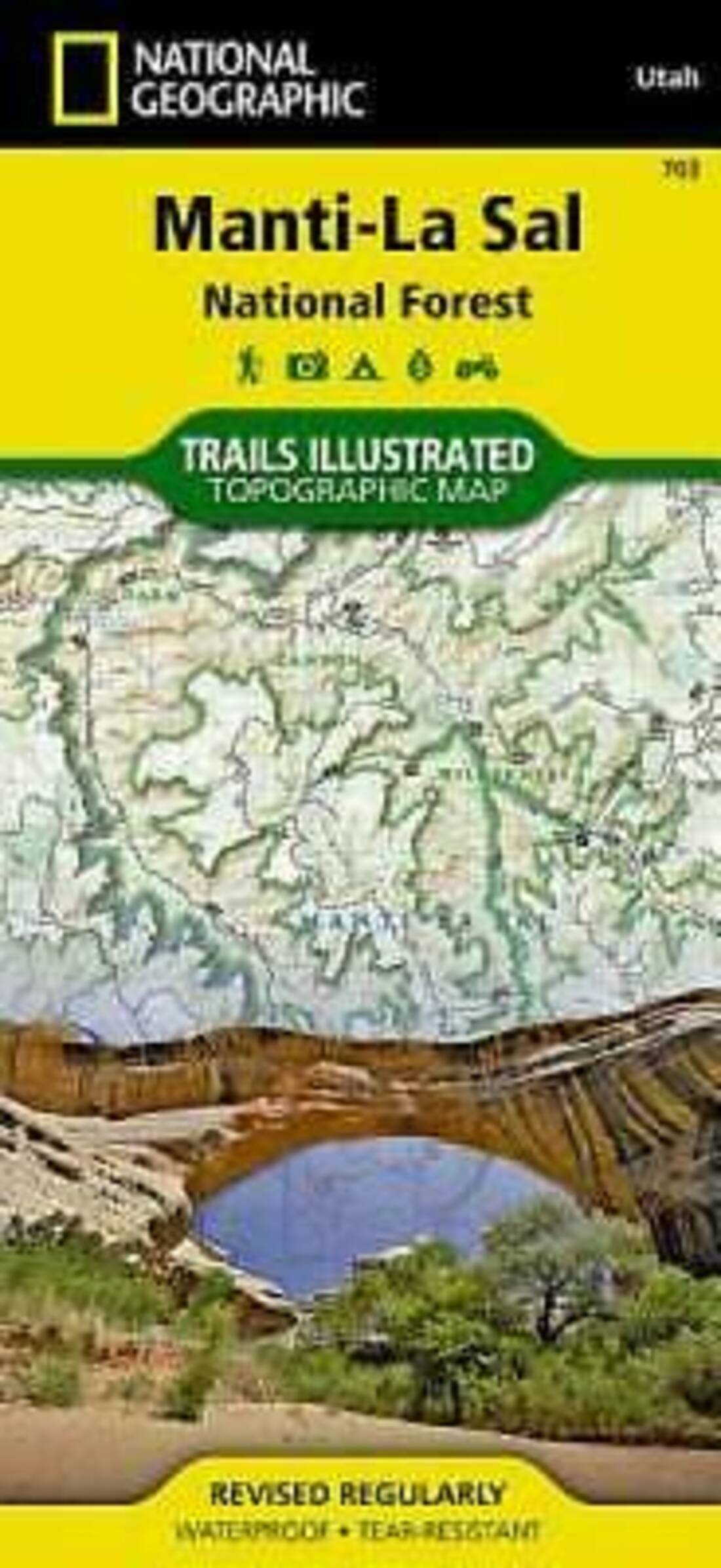
Manti La Sal National Forest
Manti La Sal National Forest
Regular price
$14.95 USD
Regular price
Sale price
$14.95 USD
Unit price
/
per
Shipping calculated at checkout.
Couldn't load pickup availability
- SKU: TI_MANTI_20
- • Waterproof • Tear-Resistant • Topographic Map Coverage includes Manti-La-Sal National Forest; Dark Canyon Wilderness/Primitive Area; Natural Bridges, New Mexico; Monticello, Blanding, Fry Canyon, Blue Mountains, Woodenshoe and Hammond canyons; Indian Creek and Recapture Lake. Map Scale = 1:70,000
- Type: Folded Map
- Subtype: Park
- Language: English
- Publication Date: 2020-06-01
- Scale: 1:70,000
- Regions Covered: Central U.S., North America
- Countries Covered: United States
- States Covered: Utah
- ISBN: 9781566953771
- UPC: 749717010840
- MPN: TI00000703
- Folded Size: 4.33" (W) x 9.45" (H)
- Unfolded Size: 24.41" (W) x 36.22" (H)
- Weight: 3.2 oz


