1
/
of
1
United States Forest Service
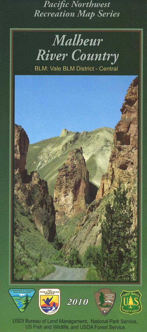
Malheur River Country Map
Malheur River Country Map
Regular price
$19.99 USD
Regular price
Sale price
$19.99 USD
Unit price
/
per
Shipping calculated at checkout.
Low stock
Couldn't load pickup availability
- SKU: USFS_MAL_15
- This topographic map shows Malheur River Country in Oregon. The map is printed on the front on waterproof paper, while the reverse contains information about the area.
- Type: Folded Map
- Subtype: Park
- Language: English
- Publication Date: 2015-06-01
- Scale: 1:126,720
- Regions Covered: North America, Northwestern U.S.
- Countries Covered: United States
- States Covered: Oregon
- ISBN: 9781628115574
- MPN: https://store.usgs.gov/product/242673
- Folded Size: 4" (W) x 9" (H)
- Unfolded Size: 36" (W) x 48" (H)
- Weight: 5.9 oz


