T & V Holt Associates
Major & Mrs Holt’s Battle Map of The Normandy D-Day Landing Beaches
Major & Mrs Holt’s Battle Map of The Normandy D-Day Landing Beaches
Regular price
$10.95 USD
Regular price
Sale price
$10.95 USD
Unit price
per
Shipping calculated at checkout.
Couldn't load pickup availability
- SKU: TVH_D_DAY_24
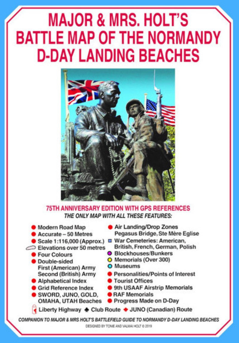
This battlefield map includes SWORD, JUNO, GOLD, OMAHA, and UTAH beaches, air landing/drop zones - Pegasus Bridge, St. Mere Eglise, British, American, French, German, and Polish war cemetaries, blockhouse/bunkers, over 300 memorials, museums, personalities/points of interest, 9th USAAF Airstrip Memorials, RAF memorials, the movements of the American and British armies, and the progress made on D-Day.
This map includes modern roads, indices, and tourist offices for the modern visitor. This map is a supplement for the pocket guide of the area.
- Type: Folded Map
- Subtype: Historical
- Language: English
- Publication Date: 2024-06-01
- Regions Covered: Europe, Western Europe
- Countries Covered: France
- ISBN: 9781526764942
- Folded Size: 6" (W) x 8" (H)
- Unfolded Size: 23" (W) x 19" (H)
- Weight: 1.6 oz