Freytag & Berndt
Lüneburg Heath Nature Park, hiking, bike and leisure map 1:50,000 WKD 5082, with infoguide
Lüneburg Heath Nature Park, hiking, bike and leisure map 1:50,000 WKD 5082, with infoguide
Regular price
$19.95 USD
Regular price
Sale price
$19.95 USD
Unit price
per
Shipping calculated at checkout.
Low stock
Couldn't load pickup availability
- SKU: FB_WKD_5082_PK_21
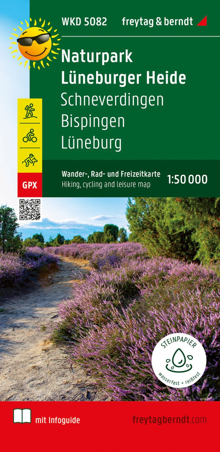
- The hiking, bike and leisure map Naturpark Lüneburger Heide covers the entire area on a scale of 1: 50,000. The district and Hanseatic city of Lüneburg can be found in the northeast of the map, in the southeast the neckline to Ebstorf extends with its monastery of the same name. Heide cities and villages such as Schneverdingen and Bispingen are also shown in the map sheet. The Lüneburg Heath with its unique plant and fauna offers hikers, cyclists and riders a real Eldorado with a variety of ways. The historical cultural land is ideal to be explored on foot, by bike or on the horse. Information about the hiking map Lüneburger Heide Hiking and long-distance hiking trails bike and long-distance cycle paths riding paths GPX-Tracks for download scale 1:50 000 waterproof and tearproof 70 x 82 cm, double-sided printed in a practical map envelope with infoguide infoguide The enclosed information guide "Kurz & compact" The region around the Lüneburg Heath Nature Park for hikers and cyclists tasty. Natural and cultural spatial peculiarities, the development of the nature reserve and traditional management methods in the Heider region are presented in more detail. Original heathern villages - above all the car -free Wilsede - waiting to be discovered. Small heath cities such as Schneverdingen and Soltau are ideal as the starting point for excursions to the Heider region and the old Salz and Hanseatic city of Lüneburg attracts with a variety of historical buildings. Heidschnuckenweg and Freudenthalweg, the two important long -distance hiking trails are described in more detail. We also included a selection of six top hikes with the most important facts on the route, a short description and a height profile in the infoguide. In addition to the Lüneburg Heidetour and the Luhe bike path, some long-distance cycle paths also run through the wide areas in the Lüneburg Heath Nature Park. The diverse range of bicycle paths is supplemented by the Heide tours. These three themed bike paths are dedicated to their own section, rounded off from our three top bike tours with route information, description and height profile. Waterproof and tearproof so that the hiking map can also be used for orientation on rainy days, it is printed on a special waterproof and resistant paper. Produced in a resource -saving manner. The map consists of 80 % ground limestone. The production is much more resource -friendly than with conventional paper because the consumption of water, wood and energy is significantly lower.
- Type: Folded Map
- Subtype: Hiking
- Language: Dutch, English, German
- Publication Date: 2021-08-30
- Scale: 1:50000
- Regions Covered: Central Europe, Europe
- Countries Covered: Germany
- ISBN: 9783707918847
- MPN: WKD 5082
- Folded Size: 3.93" (W) x 8.06" (H)
- Unfolded Size: 3.93" (W) x 8.06" (H)
- Weight: 4.23 oz