1
/
of
1
American Drafting & Maps
Louisiana
Louisiana
Regular price
$4.95 USD
Regular price
Sale price
$4.95 USD
Unit price
/
per
Shipping calculated at checkout.
Couldn't load pickup availability
- SKU: AD_LA_4
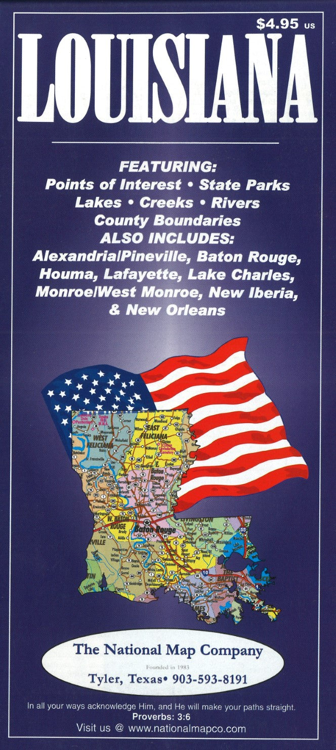
- This Louisiana map from The National Map Company features points of interest, state parks, lakes, creeks, rivers and county boundaries and city index. Also includes insets of Alexandria/Pineville, Baton Rouge, Houma, Lafayette, Lake Charles, Monroe/West Monroe, New Iberia, and New Orleans. Includes mileage chart.
- Type: Folded Map
- Subtype: Road
- Language: English
- Publication Date: 2004-06-01
- Scale: 1:1,092,960
- Regions Covered: North America, Southern U.S.
- Countries Covered: United States
- States Covered: Louisiana
- ISBN: 9781932105896
- Folded Size: N/A
- Unfolded Size: 25.98" (W) x 37.01" (H)
- Weight: 2.25 oz


