United States Forest Service
Los Padres National Forest : Monterey & Santa Lucia Ranger Districts
Los Padres National Forest : Monterey & Santa Lucia Ranger Districts
Couldn't load pickup availability
- SKU: USFS_LPNF_MONT_14N
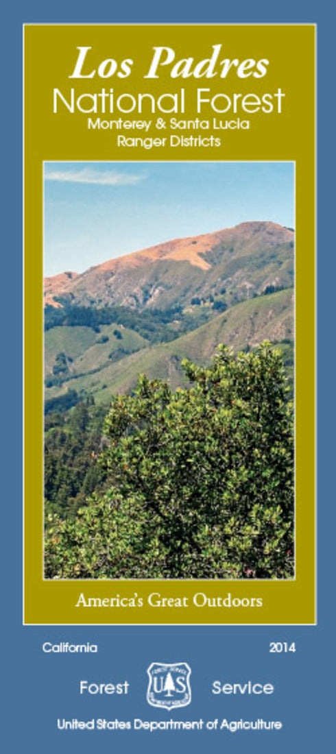
The Forest Visitor Map of Los Padres National Forest - Monterey and Santa Lucia Ranger Districts, California, produced by the United States Forest Service, provides detailed topographic and recreational information for visitors to this vast and diverse region. It highlights major roads, trails, campsites, and points of interest within the Monterey and Santa Lucia districts of the Los Padres National Forest. The map also features terrain features like rivers, lakes, and elevations, as well as details on designated wilderness areas and areas with specific land use restrictions. It is an essential tool for planning outdoor activities such as hiking, camping, and exploring this beautiful part of central California.
- Type: Folded Map
- Subtype: Park
- Language: English
- Publication Date: 2014-06-01
- Scale: 1:126,720
- Regions Covered: North America, Western U.S.
- Countries Covered: United States
- States Covered: California
- ISBN: 9781593514228
- MPN: 234888
- Folded Size: 4.1" (W) x 9" (H)
- Unfolded Size: 24" (W) x 36" (H)
- Weight: 5.4 oz


