Bureau of Land Management
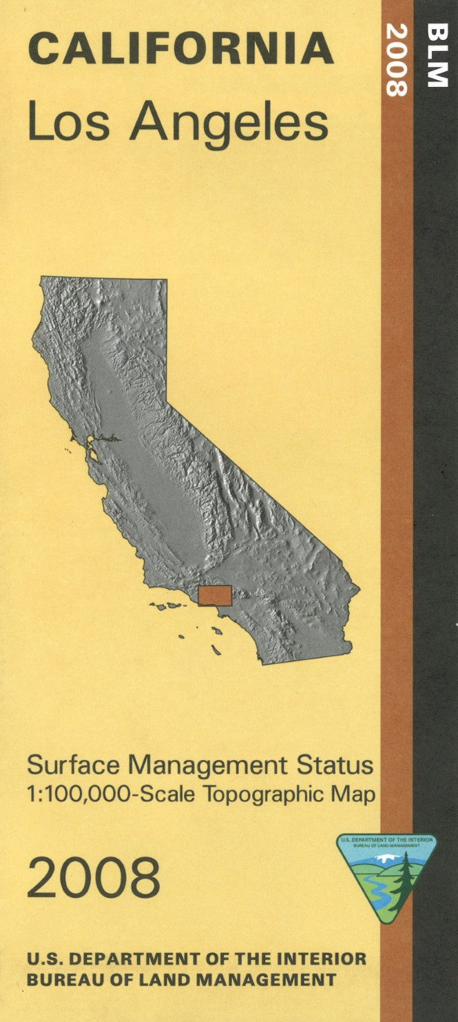
Los Angeles, California Surface Management Map
Los Angeles, California Surface Management Map
Couldn't load pickup availability
- SKU: BLM_LOS_AN_8
Explore the diverse and expansive landscapes surrounding Los Angeles, California, with the Bureau of Land Management’s Surface Management Topographic Map. This detailed map is an essential tool for outdoor enthusiasts, land managers, and anyone navigating the Los Angeles region, offering a comprehensive view of the area's topography, land ownership boundaries, and surface management designations.
The map features accurate elevation contours, roads, trails, water features, and significant landmarks, making it easier to navigate the varied terrain, from urban areas to nearby wilderness and foothill regions. It also highlights federal, state, and private land ownership, providing critical information about land access, usage restrictions, and public land regulations.
This topographic map is designed to withstand the demands of outdoor exploration, ensuring reliability in even the harshest conditions. Whether you’re hiking in the nearby mountains, conducting land management research, or simply navigating the outdoors, the Los Angeles Surface Management Topographic Map is an invaluable resource for anyone exploring or working in the region.
- Type: Folded Map
- Subtype: Land Use / Land Cover
- Publication Date: 2008-01-01
- Scale: 1:100,000
- Regions Covered: North America, Pacific U.S., Western U.S.
- Countries Covered: United States
- States Covered: California
- ISBN: 9781411322288
- MPN: 44606
- Folded Size: 4" (W) x 9" (H)
- Unfolded Size: 44" (W) x 27" (H)
- Weight: 2.4 oz