Bureau of Land Management
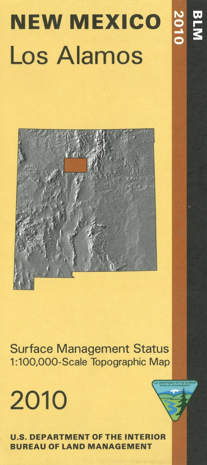
Los Alamos, New Mexico Surface Management Map
Los Alamos, New Mexico Surface Management Map
Couldn't load pickup availability
- SKU: BLM_ALAMOS_10
Discover the intricate landscape of Los Alamos, New Mexico, with the Bureau of Land Management’s Surface Management Topographic Map. This highly detailed map offers a comprehensive look at the topography, land ownership, and surface management designations of the Los Alamos area, providing an invaluable resource for outdoor enthusiasts, researchers, land managers, and anyone exploring this region and its fascinating history.
Designed with precision and clarity, this map highlights key features such as elevation contours, water features, roads, trails, and land use boundaries, ensuring you can navigate with ease. It also clearly marks federal, state, and private land ownership, making it essential for understanding land access and usage restrictions in the area.
This topographic map is perfect for hiking, camping, and land management activities. Whether you’re planning an outdoor adventure or need to make informed decisions about land use, this map from the Bureau of Land Management ensures you have high quality information at your fingertips.
- Type: Folded Map
- Subtype: Land Use / Land Cover
- Publication Date: 2010-01-01
- Scale: 1:100,000
- Regions Covered: North America, Southwestern U.S.
- Countries Covered: United States
- States Covered: New Mexico
- ISBN: 9781411330108
- MPN: 80422
- Folded Size: 4" (W) x 9" (H)
- Unfolded Size: 44" (W) x 27" (H)
- Weight: 2.4 oz


