1
/
of
1
Fishing Hot Spots
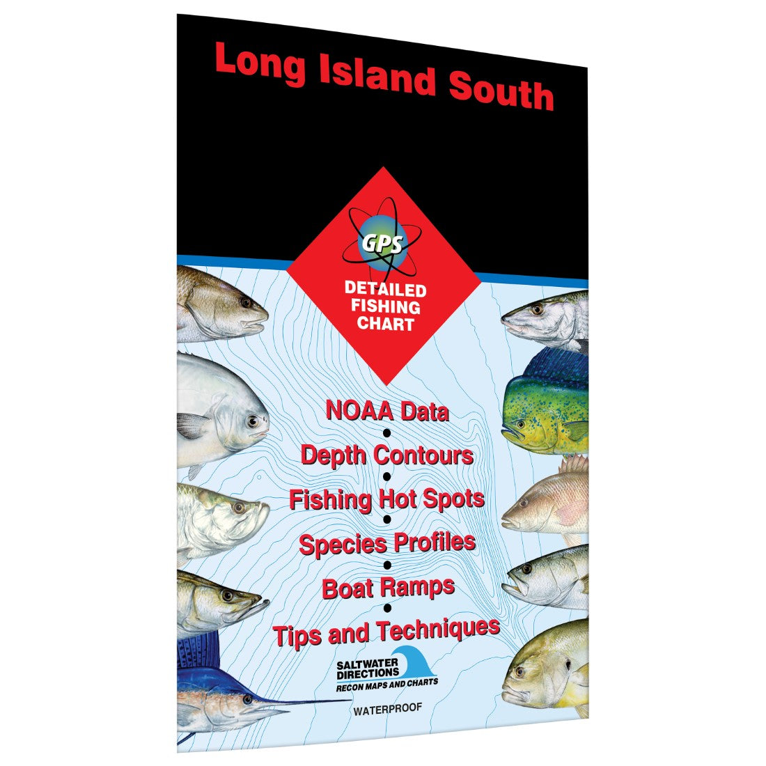
Long Island South Jamaica Bay to Great South Bay Fishing Map
Long Island South Jamaica Bay to Great South Bay Fishing Map
Regular price
$19.95 USD
Regular price
Sale price
$19.95 USD
Unit price
/
per
Shipping calculated at checkout.
Couldn't load pickup availability
- SKU: FHS_LONG_IS_JAM_NY_
- Saltwater ChartWhile heavily populated, the south shore of Long Island contains the most extensive acreage of tidal wetlands and the greatest diversity of habitat in New York. This makes for some great inshore fishing. Look for weakfish, fluke, winter flounder and blackfish in the bays and esturaries. False albacore, striped bass and bluefish migrate along the coast and even enter the inlets at peak season. Featured Species: Black Sea Bass, Bluefish, False Albacore, Summer Flounder, Striped Bass, Tautog, Weakfish and Winter Flounder Map Features: Tips and Techniques for Featured Species GPS Information 16Access Locations Indicated 28Proven Fishing Areas Marked Area Marina Information Artificial Reefs Indicated with GPS (if applicable) Covers coast between Jamaica Bay and Great South Bay
- Type: Folded Map
- Subtype: Fishing
- Language: English
- Regions Covered: Mid-Atlantic/Northeastern U.S., North America
- Countries Covered: United States
- States Covered: New York
- ISBN: 9781591890416
- UPC: 836548000420
- MPN: NY0101
- Folded Size: 6" (W) x 9" (H)
- Unfolded Size: 36" (W) x 24" (H)
- Weight: 2 oz


