MapArt Publishing Corporation
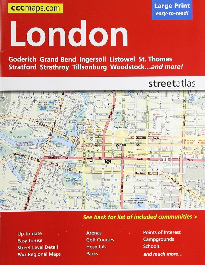
London : street atlas
London : street atlas
Regular price
$9.95 USD
Regular price
Sale price
$9.95 USD
Unit price
per
Shipping calculated at checkout.
Couldn't load pickup availability
- SKU: CCC_LONDON_AT_18
- CCC’s London street atlas has all the features to make even the unfamiliar areas easy to navigate. Continuous full-color mapping for the whole area with comprehensive street level detail in an easy to follow grid design. Includes London map and maps of: Arva, Aylmer, Belmont, Campbellvale, Clinton, Delaware, Dorchester, Exeter, Goderich, Grand Bend, Ingersoll, Kilworth, Komoka, Lambeth, Listowel, Lynhurst, Mitchell, Mount Brydges, Nilestown, Port Stanley, St. Marys, St. Thomas, Stratford, Strathroy, Tillsonburg, and Woodstock. Features: arenas, golf courses, parks, points of interest, hospitals, schools, skiing and street index.
- Type: Paperback Atlas
- Subtype: Popular/Travel
- Language: English
- Scale: Scales differ
- Regions Covered: North America
- Countries Covered: Canada
- States Covered: Ontario
- ISBN: 9781553686484
- UPC: 066770206486
- Folded Size: N/A
- Unfolded Size: 11.02" (W) x 8.66" (H)
- Weight: 9.5 oz