Geographers A-Z Map Co., Ltd.
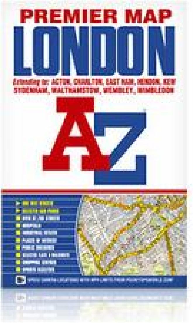
London Premier Map
London Premier Map
Regular price
$15.99 USD
Regular price
Sale price
$15.99 USD
Unit price
per
Shipping calculated at checkout.
Couldn't load pickup availability
- SKU: AZM_LONDON_9
- This foldout coloured street map of London covers a six mile radius from Charing Cross in central London and extends to: Hendon, Hornsey, Upper Walthamstow, Wanstead, East Ham (part), London City Airport, Charlton, Eltham, Grove Park, Sydenham (part), Streatham, Tooting (part), Richmond Park, Kew Bridge, Acton, Wembley Stadium and Kingsbury. Also shown are postcode districts, one-way streets, the congestion zone boundary and safety camera locations with their maximum speed limit are featured on the mapping. The index is contained within a booklet that is attached to the cover and lists streets, selected flats, walkways and places of interest, junction, place and area names. There is also a separate listing of National Rail, Docklands Light Railway, London Overground and London Underground Stations, and a list of Hospitals and Hospices covered by this map.
- Type: Folded Map
- Subtype: City Maps
- Language: English
- Publication Date: 2009-06-01
- Scale: Scale not provided
- Regions Covered: British Isles, Europe
- Countries Covered: United Kingdom
- States Covered: England
- ISBN: 9781843484967
- Folded Size: 6" (W) x 9.5" (H)
- Unfolded Size: 27" (W) x 48" (H)
- Weight: 8.5 oz