1
/
of
1
Freytag & Berndt
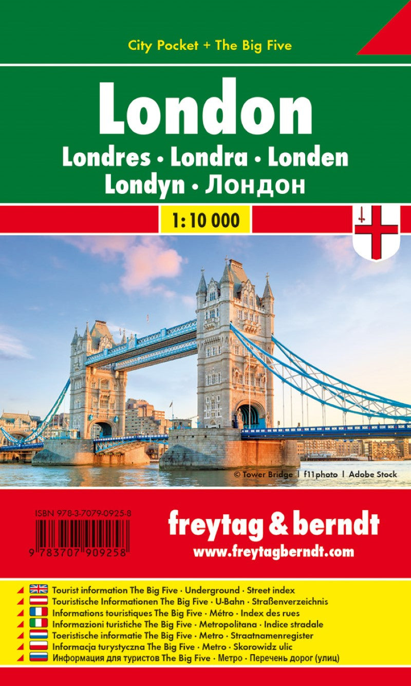
London, City Pocket map, City map1:10.000
London, City Pocket map, City map1:10.000
Regular price
$5.90 USD
Regular price
Sale price
$5.90 USD
Unit price
/
per
Shipping calculated at checkout.
Couldn't load pickup availability
- SKU: FB_LONDON_PKT_19
- Central London in a series of handy pocket street plans from Freytag & Berndt. Each map is laminated, so waterproof and tear-resistant, and highlights the publishers’ recommendations of five best choices in five categories: shopping, restaurants and cafes, culture, nightlife and sights. On one side is an indexed street plan annotated with colour-coded markers highlighting the publishers’ recommendations, all listed on the reverse of the map with brief notes in several languages. In larger cities the plans cover only the central districts. Also provided are a small road map of the city’s environs, if appropriate a diagram of the metro network, and a Fact Box with phone numbers for tourist offices, car hire and emergency services. Map legend and notes on the recommendations include English.
- Type: Folded Map
- Subtype: City Maps
- Language: Dutch, English, French, German, Italian, Polish, Russian
- Publication Date: 2019-12-30
- Scale: 1:10,000
- Regions Covered: British Isles, Europe
- Countries Covered: United Kingdom
- States Covered: England
- ISBN: 9783707909258
- MPN: PL 32 CP
- Folded Size: 3.54" (W) x 5.9" (H)
- Unfolded Size: 3.54" (W) x 5.9" (H)
- Weight: 1.76 oz


