Red Maps
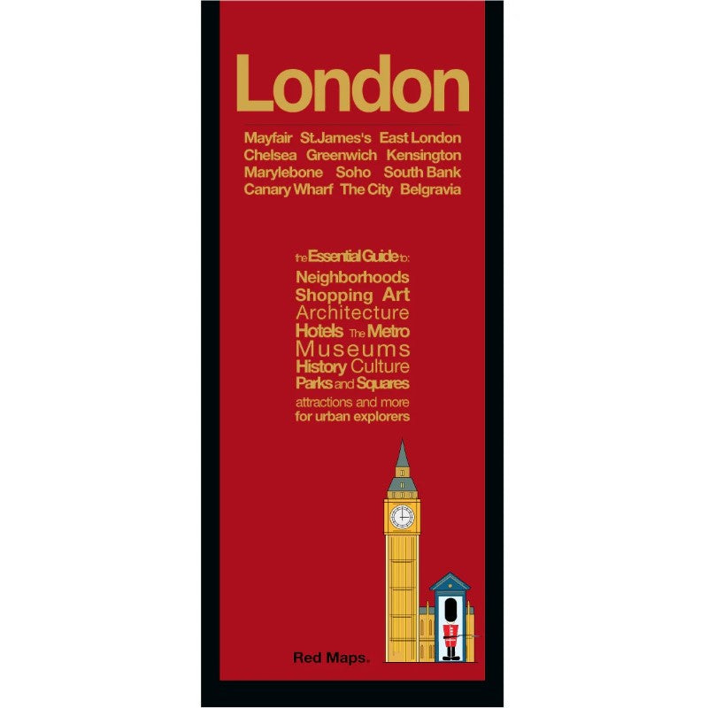
London City & Culture Map
London City & Culture Map
Regular price
$13.95 USD
Regular price
Sale price
$13.95 USD
Unit price
per
Shipping calculated at checkout.
Couldn't load pickup availability
- SKU: RED_LONDON_23
Foldout Travel Map of London
Laminated pocket-sized map of central London shows you in one easy-to-read colorful map everything you'll want to see in the city.Information on the Map Includes:
- Important historical landmarks.
- Useful facts about London's attractions.
- Museum collection highlights.
- Central London boutique hotels.
- Streets & squares clearly identified.
- Charming local London shopkeepers.
- Tube stations & routes shown on map.
- Parks, theatres and stadiums.
Neighborhoods on the London Map:
Bankside, The City, Mayfair, Greenwich, Marylebone, Broadgate, Kensington, Hyde Park, Canary Wharf, Southwark, Spitalfields, Covent Garden, Soho, Fitzrovia, Bloomsbury, Knightsbridge, and Belgravia.Map Dimensions
Opens to 24 in. wide x 9.5 in. tall; 61 cm x 19 cm
Map folds to 4 in. wide x 9.5 in. tall; 24 cm x 19 cm
No-glare matte finish, easy-to-read map indoors and outdoors.- Type: Folded Map
- Subtype: City Maps
- Language: English
- Publication Date: 2023-06-01
- Scale: Scale not provided
- Regions Covered: British Isles, Europe
- Countries Covered: United Kingdom
- States Covered: England
- ISBN: 9781892238887
- Folded Size: 3.94" (W) x 9.45" (H)
- Unfolded Size: N/A
- Weight: 1.3 oz