Freytag & Berndt
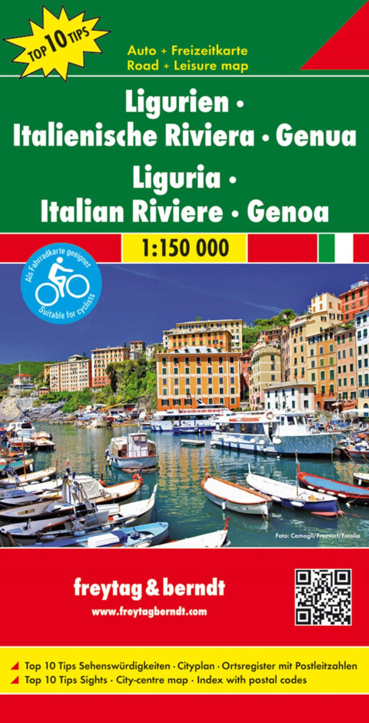
Liguria - Italian Riviera - Genoa, road map 1:150,000, top 10 tips
Liguria - Italian Riviera - Genoa, road map 1:150,000, top 10 tips
Regular price
$19.95 USD
Regular price
Sale price
$19.95 USD
Unit price
per
Shipping calculated at checkout.
Couldn't load pickup availability
- SKU: FB_LIGURIA_18
- Italian region of Liguria at a detailed scale of 1:150,000 on a map in Freytag & Berndt’s very popular “Top 10 Tips” series. A booklet attached to the map cover provides descriptions of the region’s 10 best sights, a street plan of central Genoa, plus the map index. Many place names are in large print to make navigating easier. Coverage extends from the French border to Lévanto, and continues further east on an inset to include La Spezia and the Cinque Terre. Maps in this series have topography well presented by subtle hill-shading with spot heights, plus colouring for woodlands; national and regional parks are highlighted. Road network emphasizes motorways and regional roads, but also includes small local roads and selected country tracks, most annotated with driving distances. Scenic routes are highlighted and the maps show roads closed to motor vehicles and/or not recommended for caravans, winter closures, toll routes, etc. Names of larger local towns are in bold print, making navigating in unfamiliar terrain much easier. Railway lines and ferry routes are included and local airports are marked. Picturesque locations are highlighted and in each title 10 best places of interest are prominently marked and briefly described in a booklet attached to the map cover. Symbols indicate various landmarks and facilities, e.g. archaeological sites, churches and castles, campsites, hostels, etc. Latitude and longitude lines are drawn at 10' intervals. The index, listing all the localities with their postcodes, is in the booklet attached to the map cover. The booklet also provides street plan (s) of the region’s main town(s). Map legend and the descriptions include English.
- Type: Folded Map
- Subtype: Road
- Language: Czech, Dutch, English, French, German, Hungarian, Italian, Polish, Slovak, Spanish
- Publication Date: 2018-06-18
- Scale: 1:150000
- Regions Covered: Europe, Western Europe
- Countries Covered: Italy
- ISBN: 9783707915174
- MPN: AK 0631
- Folded Size: 5.11" (W) x 10.02" (H)
- Unfolded Size: 5.11" (W) x 10.02" (H)
- Weight: 5.64 oz