McElfresh Map Co.
Lewis & Clark and the Louisiana Purchase, 1803-1806
Lewis & Clark and the Louisiana Purchase, 1803-1806
Regular price
$14.95 USD
Regular price
Sale price
$14.95 USD
Unit price
per
Shipping calculated at checkout.
Low stock
Couldn't load pickup availability
- SKU: MEM_LEW_CLA_3
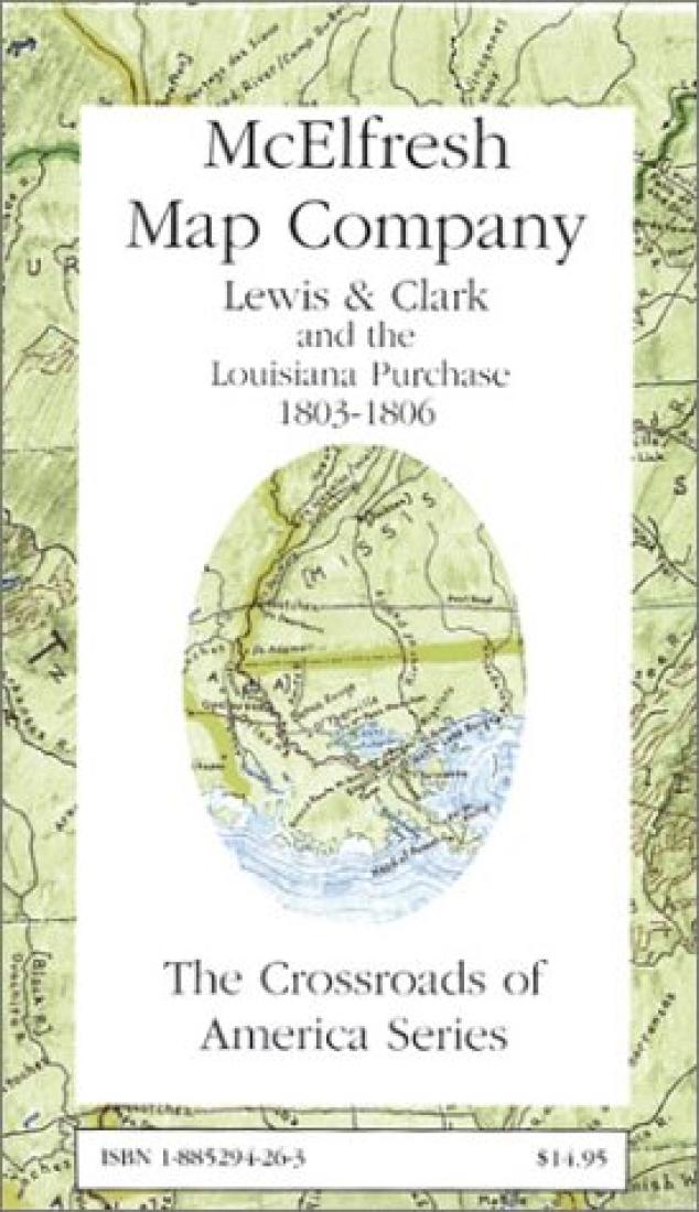
- A watercolor map of the United States circa 1803 through 1806. The map shows in beautiful and accurate detail the route and sites of the Lewis and Clark expedition. It also depicts the boundaries and places of the concurrent Louisiana Purchase. A special attraction of the map is its attention to the topography of the rest of early 19th century America, including post roads, trading paths and Indian trails. The reverse of the map contains a monograph on early American roads and is illustrated with illuminating photographs of modern traces of some of the most famous early American highways. This map was a main selection of History Book Club.
- Type: Folded Map
- Subtype: Historical
- Language: English
- Publication Date: 2003-06-01
- Scale: Scale not provided
- Regions Covered: North America, Southern U.S.
- Countries Covered: United States
- States Covered: Louisiana
- ISBN: 9781885294265
- Folded Size: 5" (W) x 8" (H)
- Unfolded Size: 24.5" (W) x 37.5" (H)
- Weight: 2.8 oz