International Travel Maps
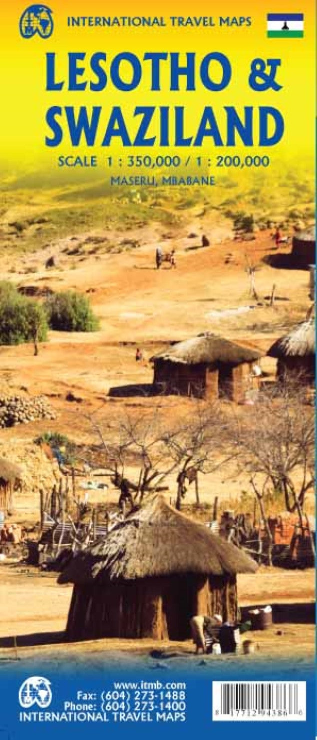
Lesotho & Swaziland Travel Reference Map
Lesotho & Swaziland Travel Reference Map
Couldn't load pickup availability
- SKU: ITM_LESO_SWAZ_19
International Travel Maps are pleased to re-introduce their coverage of two countries of Africa that are fairly unique. Both were well-established entities when settlers arrived, and both were able to maintain their identities throughout the colonial era, as Protectorates. Lesotho is quite mountainous, with a poorly developed road network, so is a travel adventure destination. It occupies side 1, along with an inset of Maseru, the capital. Swaziland, which has recently changed its name for local purposes to Eswatini, occupies side 2, with an inset of Mbabane, its capital. Both countries are easy to access from South Africa, and are well worth visiting. ITM have also added two lists showing the Top Attractions of both countries. Both are land-locked countries either adjacent to or surrounded by South Africa; both are essentially agricultural countries, although Lesotho’s mountainous terrain offers considerable touristic appeal, particularly the Sani Pass.
- Type: Folded Map
- Subtype: Travel
- Language: English
- Publication Date: 2019-06-01
- Scale: 1:1,000,000
- Regions Covered: Africa, Southern Africa
- Countries Covered: Eswatini, Lesotho
- ISBN: 9781771294386
- UPC: 817712943866
- Folded Size: 4" (W) x 9.5" (H)
- Unfolded Size: 39" (W) x 27" (H)
- Weight: 1.8 oz


