1
/
of
1
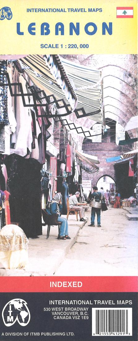
International Travel Maps
Lebanon
Lebanon
Regular price
$12.95 USD
Regular price
Sale price
$12.95 USD
Unit price
/
per
Shipping calculated at checkout.
Couldn't load pickup availability
- SKU: ITM_LEB_4
- A general road and physical map that uses altitude tinting and spot heights to show elevation, while the road network shows main roads, railroads, and some secondary roads. Symbols indicate tourist services and points of interest, such as mosques, historic sites, beaches, museums, airports, and more. The main map has a 15' latitude/longitude grid.
- Type: Folded Map
- Subtype: Travel
- Language: English
- Publication Date: 2004-06-01
- Scale: 1:220,000
- Regions Covered: Asia, Mediterranean Sea, Middle East, Western Asia
- Countries Covered: Lebanon
- ISBN: 9781553412915
- Folded Size: 4" (W) x 9.5" (H)
- Unfolded Size: 34" (W) x 26.5" (H)
- Weight: 2.5 oz


