Red Maps
Las Vegas City Map
Las Vegas City Map
Couldn't load pickup availability
- SKU: RED_LAS_VE_25
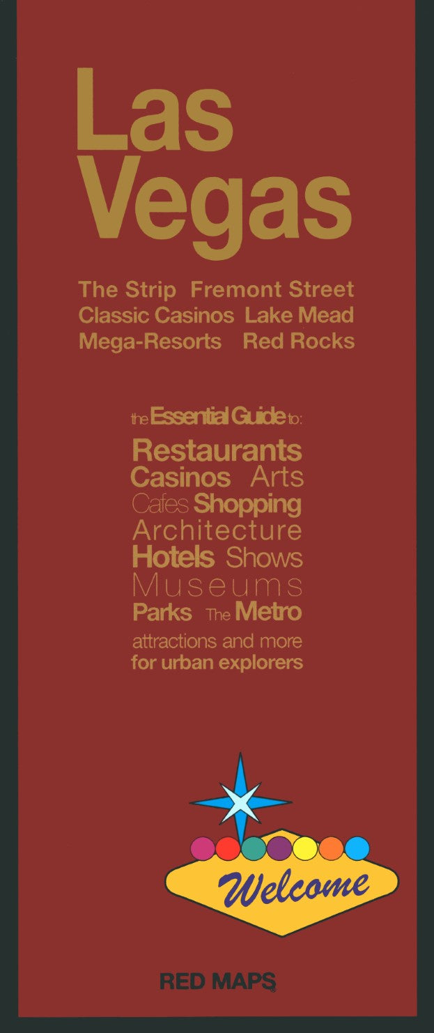
Accordion-folded tourist map of Las Vegas with indies for theaters, jmuseums, gardens, attractions, natural attractions, sports, accommodations, roads, meeting centers, governmentt offices, shopping, and casinos. Matte-laminated. Includes inset of environs.
From The Strip to Fremont Street, for business or pleasure, the Red Map gives you the entire Vegas entertainment and dining scene. An insert area map highlights open-air attractions outside of the city including Red Rocks National Park, Mt. Charleston and the Hoover Dam.
Concise lists of the best shopping, hotels and dining; helpful descriptions of landmarks, museum collections, and integrated metro stops; Red Maps are known for clear and easy to read graphics. Red Maps are Designed and Made in the USA.- Type: Folded Map
- Subtype: City Maps
- Language: English
- Publication Date: 2025-05-01
- Scale: Scale not provided
- Regions Covered: North America, Western U.S.
- Countries Covered: United States
- States Covered: Nevada
- ISBN: 9780989213202
- Folded Size: 3.94" (W) x 9.45" (H)
- Unfolded Size: 9.45" (W) x 23.62" (H)
- Weight: 1.3 oz