1
/
of
1
Global Graphics
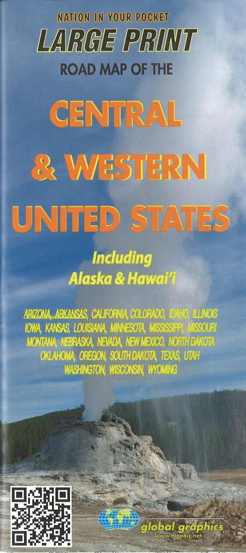
Large print road map of the central & western United States : including Alaska and Hawai'i
Large print road map of the central & western United States : including Alaska and Hawai'i
Regular price
$5.95 USD
Regular price
Sale price
$5.95 USD
Unit price
/
per
Shipping calculated at checkout.
Couldn't load pickup availability
- SKU: GG_USA_CENT_W_15
- Folded road map of the Central and Western United States, including insets of Alaska and Hawai'i. Featuring an index of cities and towns.
- Type: Folded Map
- Subtype: Road
- Language: English
- Publication Date: 2015-06-01
- Scale: 1:5,300,000
- Regions Covered: Central U.S., Midwest, North America, North-central U.S./Great Plains, Northwestern U.S., Pacific U.S., Western U.S.
- Countries Covered: United States
- States Covered: Alaska, Arizona, Arkansas, California, Colorado, Hawaii, Idaho, Illinois, Iowa, Kansas, Louisiana, Minnesota, Mississippi, Missouri, Montana, Nebraska, Nevada, New Mexico, North Dakota, Oklahoma, Oregon, South Dakota, Texas, Utah, Washington, Wisconsin, Wyoming
- ISBN: 9780918505781
- Folded Size: 3.94" (W) x 9.06" (H)
- Unfolded Size: 27.36" (W) x 39.17" (H)
- Weight: 2.4 oz


