Nordic Maps (Nordeca)
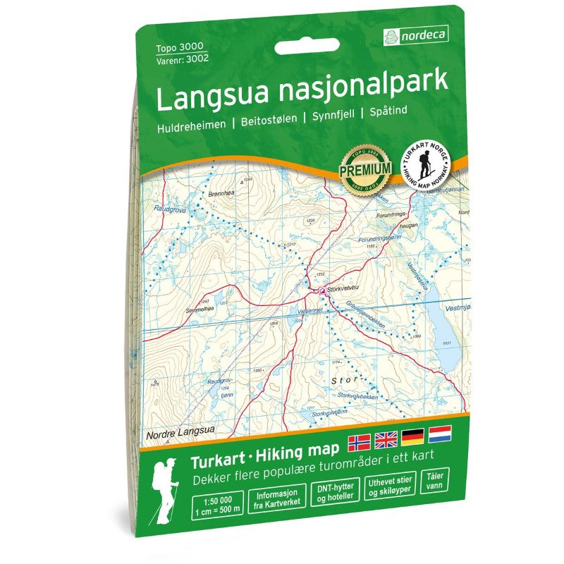
Langsua Nasjonalpark Topo 3000 Hiking Map 1:50,000, #3002
Langsua Nasjonalpark Topo 3000 Hiking Map 1:50,000, #3002
Couldn't load pickup availability
- SKU: NRD_TOPO3K_LANG_16
Topo 3000 is a detailed map covering over 3000 km² (1160 sq. miles), featuring the Langsua region, located between Rondane and Jotunheimen. This area is rich in historical mountain farms and surrounded by untouched nature, making it ideal for outdoor experiences such as fishing, hiking, and skiing. The national park offers vast, gentle lowland landscapes that are child-friendly and easy to explore. The mountains Skaget and Nordre Langsua provide breathtaking views. The self-service cabin Storkvolvbua is a great starting point for various hiking and skiing tours. Notable hikes include the Huldreheimen weekend trek, the 31.2 km route from Storkvelvbu to Liomseter, and the 10.5 km trek from Fullsenn to Liomseter. Examples of cabins in the area include Liomseter (staffed), Haldorbu, and Storeskag (self-service).
- Type: Folded Map
- Subtype: Physical
- Language: English
- Publication Date: 2016-06-01
- Scale: 1:50,000
- Regions Covered: Europe, Scandinavia
- Countries Covered: Norway
- ISBN: 7046660030028
- MPN: 3002
- Folded Size: 5.75" (W) x 8.25" (H)
- Unfolded Size: 34.3" (W) x 21.2" (H)
- Weight: 1.5 oz