Raven Maps
Landforms of the South Atlantic States Fine Art Print Map
Landforms of the South Atlantic States Fine Art Print Map
Couldn't load pickup availability
- SKU: PODRP_S_ATL_COAST_LF_18X27_WA
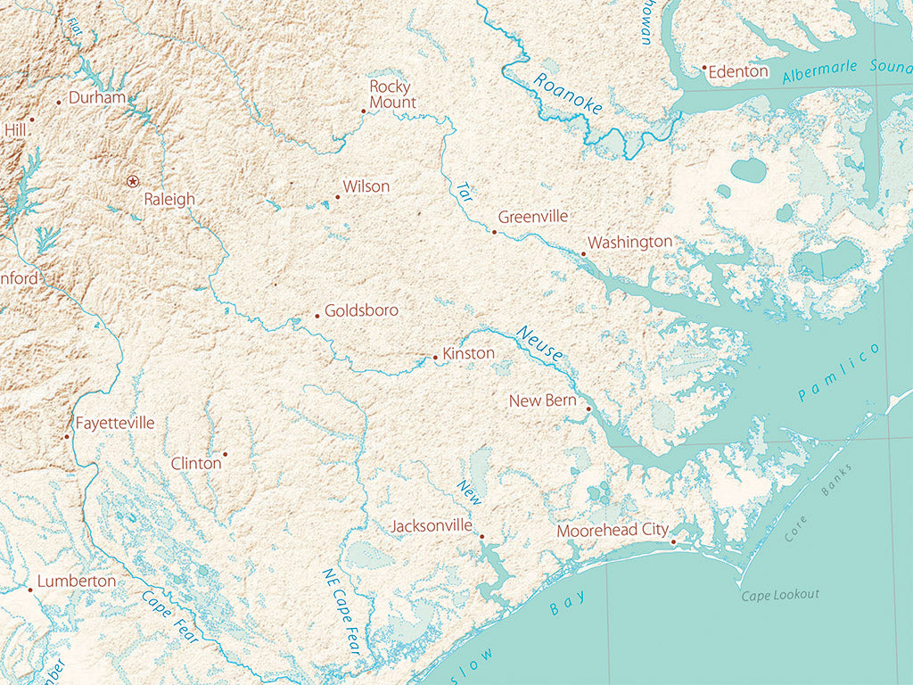
The South Atlantic Region displays the classic sequence of mountains, piedmont, and coastal plain. The coastal plain was laid down as marine sediments, from both eroding mountains and the accumulated remains of warm-water sea creatures. Even minor changes in sea level make for deep bays and extensive wetlands on this unusually flat continental shelf.
The Sea Island Coast of Georgia and immediately neighboring Florida and South Carolina are a wonderful example of ambiguous land-sea distinction, a marine equivalent to the vast wetlands of the Northern Plains and Great Lakes. South Carolina began as a maritime colony, more closely linked to the Caribbean and New England than to its immediate neighbors across the swamps.
This map covers all of the Florida Peninsula, extending west to the Apalachicola River. In the Atlantic we include the Bahamas south and east as far as Great Exuma Island. The Atlantic Coast is shown north up to the Virginia state line and includes all of North Carolina, South Carolina, and Georgia as well as most of Florida (the western Panhandle is NOT included), eastern Tennessee, and the eastern edge of Alabama.
Dimensions: All dimensions are approximate
- Type: Flat Map
- Subtype: Wall Art
- Language: English
- Regions Covered: North America, Southern U.S.
- Countries Covered: United States
- States Covered: Florida, Georgia, North Carolina, South Carolina
- UPC: 767020014850
- MPN: landforms-of-the-south-atlantic-states-map
- Folded Size: N/A
- Unfolded Size: 18" (W) x 27" (H)
- Finish: Regular Paper