Raven Maps
Landforms of the Pacific Northwest Fine Art Print Map
Landforms of the Pacific Northwest Fine Art Print Map
Couldn't load pickup availability
- SKU: PODRP_PNW_LF_25X29_WA
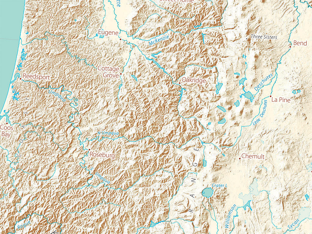
The Pacific Northwest’s signature volcanoes are almost perfectly aligned north to south for over 500 miles from Mt. Baker to Mt. Shasta— surface evidence of the subducting Juan de Fuca Tectonic Plate’s shape. The current peaks are, geologically speaking, brand-new and active, their earlier equivalents are the worn-down western Cascades; the Northern Cascades and Canadian Coast Ranges are are more or less unrelated.
Flood basalts are the signature landform of the interior Pacific Northwest. The smooth melted shapes of Yellowstone reveal the overriding Pacific Plate’s current position over the “hot spot” that has left a 400 mile (and 17 million year) long path from what is now the Owyhee Desert on the Oregon/Nevada/Idaho border. Those are just two of the many landform stories apparent on the map.
Included on the map: all of Washington, Oregon, Idaho, as well as a small portion of northern California, with lots of British Columbia, Alberta, and Montana.
Dimensions: All map dimensions are approximate.
- Type: Flat Map
- Subtype: Wall Art
- Language: English
- Regions Covered: North America, Northwestern U.S.
- Countries Covered: United States
- States Covered: Idaho, Oregon, Washington
- UPC: 767020014300
- MPN: Landforms-of-the-pacific-northwest--map
- Folded Size: N/A
- Unfolded Size: 25" (W) x 29" (H)
- Finish: Regular Paper