Raven Maps
Landforms of the Northern Rockies Fine Art Print Map
Landforms of the Northern Rockies Fine Art Print Map
Couldn't load pickup availability
- SKU: PODRP_NO_ROCKY_LF_24X28_WA
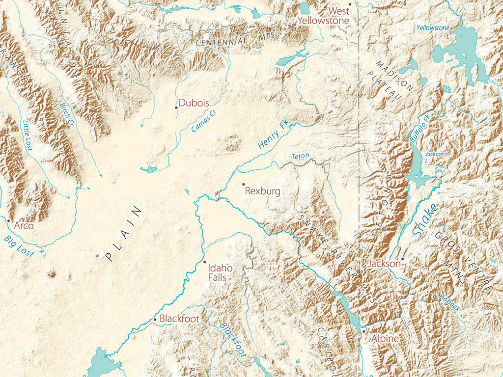
The deeply glaciated Canadian Rockies are strongly marked by a general pattern of northwest - southeast arcs that extend through western Montana, much of Idaho, and on into Wyoming and even Colorado. Rivers are shaped by these trends, but also reinforce and emphasize them. The Columbia, Kootenai, Clark Fork-Pend Orielle are notable examples.
Great Rivers of the mid-continent (Athabasca, North and South Saskatchewan, Missouri-Yellowstone) develop the classic dendritic (tree-form) pattern once they extend beyond the mountains. Wyoming’s Great Divide Basin, along with Yellowstone and the Snake River Plain (see notes with the Pacific Northwest) make a very rough but convenient southern boundary of the Northern Rockies.
The Northern Rockies regional map covers all of Idaho, Montana, and Wyoming. Neighboring portions of British Columbia, Alberta, Saskatchewan, the Dakotas, Colorado (a sliver), Utah, Nevada, Oregon and Washington are also shown.
Dimensions: All map dimensions are approximate.- Type: Flat Map
- Subtype: Wall Art
- Language: English
- Regions Covered: North America, North-central U.S./Great Plains
- Countries Covered: United States
- States Covered: Idaho, Montana, Wyoming
- UPC: 767020013655
- MPN: Landforms-of-the-northern-rockies
- Folded Size: N/A
- Unfolded Size: 24" (W) x 28" (H)
- Finish: Regular Paper