Raven Maps
Landforms of the Northern Plains Fine Art Print Map
Landforms of the Northern Plains Fine Art Print Map
Couldn't load pickup availability
- SKU: PODRP_N_PLAINS_LF_33X34_WA
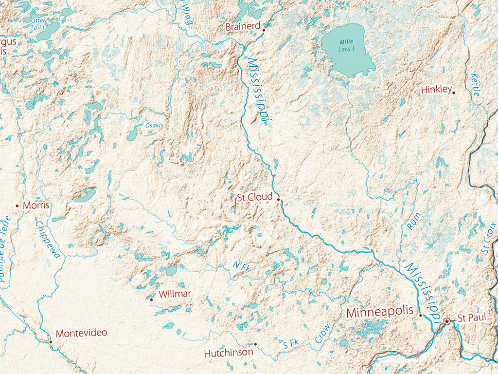
Landforms of the Northern Plains are overwhelmingly a lesson in the impact of ice. Repeated glacial advances and retreats have alternated for nearly 3 million years. The most recent (“Wisconsin”) glacial period advance ended only 10-15,000 years ago, leaving the enormous morainal deposits across the Saskatchewan-Manitoba and U.S. borders, and forming or reshaping the Great Lakes.
The region was smoothed by ice melt outwash channels flowing south when ice blocked the present northward drainage into Hudson Bay. Ice melt reversed the southerly flow course of the Red River, whose headwaters now flow north from as far Lake Traverse in the NE corner of South Dakota. An earlier advance pushed the course of the Missouri south and west, well beyond the edge of the most recent ice limit.
The Northern Plains regional map includes all of the Dakotas and Minnesota, along with large portions of Saskatchewan, Manitoba and Ontario, much of Wisconsin, and parts of Iowa, Nebraska, Wyoming and Montana .
Dimensions: All map dimesnsions are approximate
- Type: Flat Map
- Subtype: Wall Art
- Language: English
- Regions Covered: North America, North-central U.S./Great Plains
- Countries Covered: United States
- States Covered: Minnesota, North Dakota, South Dakota
- UPC: 767020013198
- MPN: land-cover-of-the-northern-plains-map
- Folded Size: N/A
- Unfolded Size: 33" (W) x 34" (H)
- Finish: Regular Paper