Raven Maps
Landforms of the Lower Mississippi Valley Fine Art Print Map
Landforms of the Lower Mississippi Valley Fine Art Print Map
Couldn't load pickup availability
- SKU: PODRP_L_MISS_LF_21X28_WA
The Lower Mississippi collects most of the runoff of the mid-continent, emerging into the lowlands of the Mississippi embayment (of the Gulf) at Cairo Illinois. The river has meandered back and forth across this Mississippi Delta for many millions of years, planing flat the accumulating silt of innumerable spring floods. Seasonal high water on the Mississippi commonly backed up into the Red as far upstream as Natchitoches.
The Great Mississippi Flood of 1927 covered most of the Delta from the Boot Heel to the Gulf, killing hundreds. Subsequent flood control, land reclamation, and navigation engineering have all contributed to a greatly simplified river course. A massive weir near Angola keeps the established Mississippi channel flowing through Baton Rouge and New Orleans, rather than the Atchafalaya.
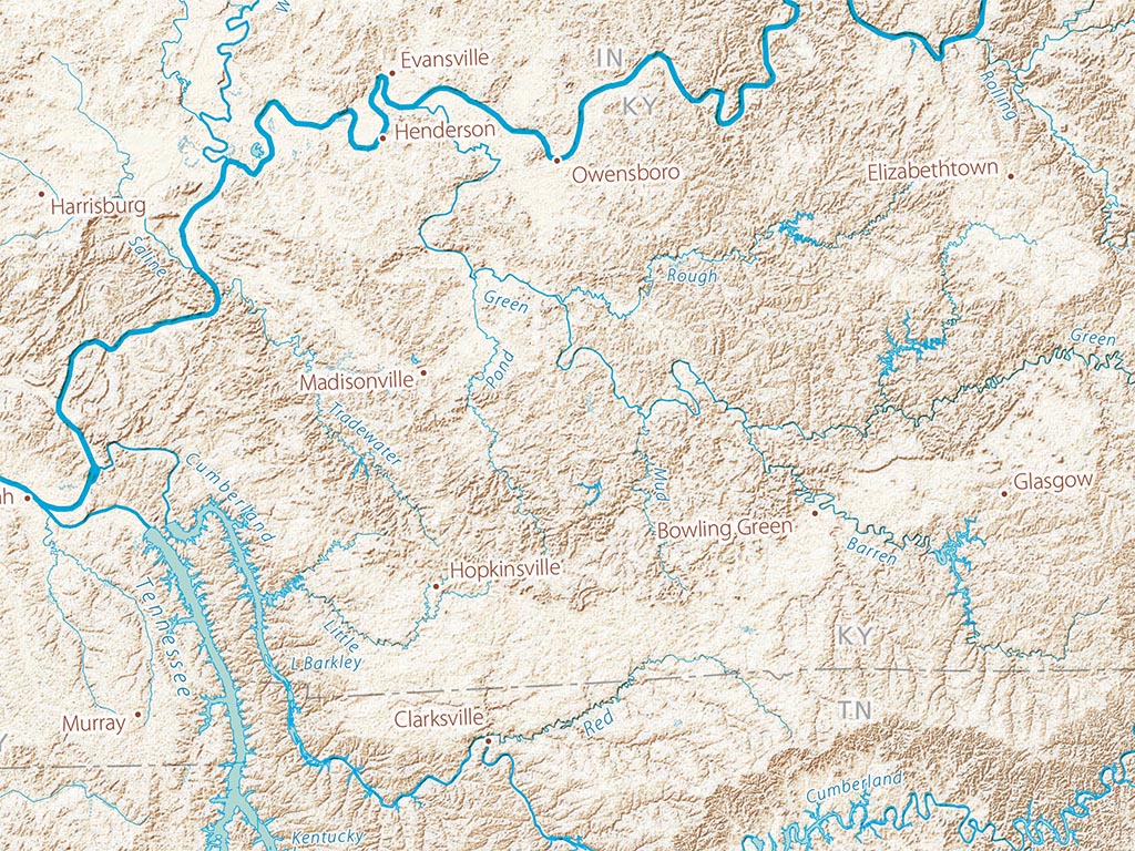
The map includes all of Louisiana, Arkansas, Mississippi, and Alabama; most of Missouri, Kentucky, and Tennessee, and easternmost Texas, Oklahoma, and Kansas as well as southern portions of Illinois and Indiana, western Georgia, and most of the Florida Panhandle.
Dimensions: All map dimensions are approximate.- Type: Flat Map
- Subtype: Wall Art
- Language: English
- Regions Covered: North America, Southern U.S.
- Countries Covered: United States
- States Covered: Alabama, Arkansas, Louisiana, Mississippi
- UPC: 767020012504
- MPN: Landforms-of-the-lower-mississippi-valleyap
- Folded Size: N/A
- Unfolded Size: 21" (W) x 28" (H)
- Finish: Regular Paper