Raven Maps
Landforms of the Great Lakes Fine Art Print Map
Landforms of the Great Lakes Fine Art Print Map
Couldn't load pickup availability
- SKU: PODRP_GR_LKS_LF_30X22_WA
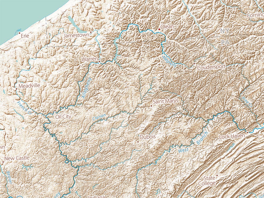
The Great Lakes are, cartographically, a particularly beautiful collection of linked shapes. In the physical world, their vast surface area makes them a set of inland seas. Their basins were carved out by glacial action and filled by glacial melting, draining south into the Mississippi during periods when the St. Lawrence was blocked by the ice sheet. They mark the southern edge of the Laurentian Shield covering much of Canada (and most of Minnesota).
Massive ice sheets planed the shield down to bare rock and very low relief. The weight depressed its center, now Hudson Bay, into which the region’s northern rivers drain. This is the land of literally uncountable lakes and vast wetlands in the north. The southern parts of the region are marked by successive, often concentric moraines, many traced by streams that formed along them.
Included on the map: The entire states of Wisconsin and Michigan, most of Minnesota, Iowa, and New York, and parts of Indiana, Ohio, and Illinois. Also on the map are quite a bit of Ontario and Quebec as well as some of Manitoba.
Dimensions: All map dimensions are approximate.
- Type: Flat Map
- Subtype: Wall Art
- Language: English
- Regions Covered: Midwest, North America
- States Covered: Iowa, Michigan, Minnesota, Ohio, Wisconsin
- UPC: 767020012221
- MPN: land-cover-of-the-great-lakes
- Folded Size: N/A
- Unfolded Size: 30" (W) x 22" (H)
- Finish: Regular Paper