Raven Maps
Landforms of California & the Great Basin Fine Art Print Map
Landforms of California & the Great Basin Fine Art Print Map
Couldn't load pickup availability
- SKU: PODRP_CATGB_LF_23X30_WA
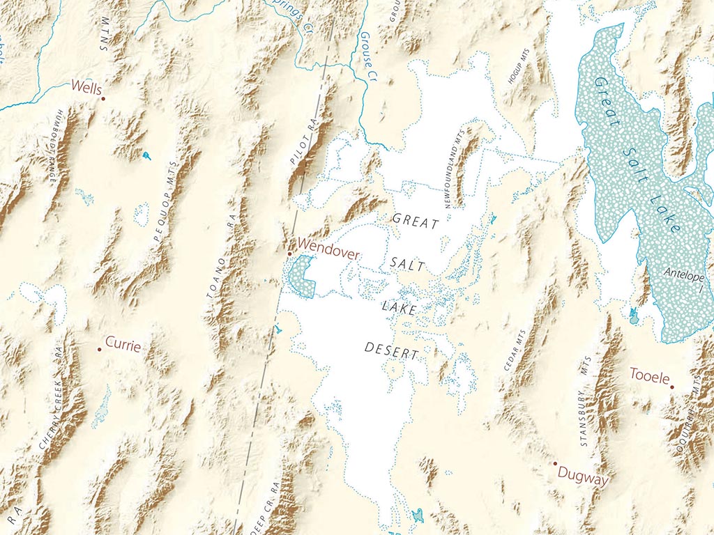
The signature land form of the Great Basin is the fault-block range— a broken piece of crust, tilted up as if hinged. The Sierra Nevada is by far the largest, but the pattern is repeated again and again, all the way across the Great Basin to its eastern edge. This is a symptom of the expanding crust accompanying the continental rifting that has opened the Gulf of California.
The Sierra is only a few million years old as a range. Along with the resurgent Cascades to the north, it casts a sharp rain and snow shadow that accounts for the Great Basin. Higher portions of the California’s coast ranges have a similar effect. Like the Cascades and Sierra, their western slopes are drained by abundant rivers, their eastern slopes by few and mostly small ones.
Included on the map are all of California and Nevada, almost all of Utah and Arizona, half of Oregon and Idaho, some of Montana and Wyoming, along with smaller portions of New Mexico, Baja California, and Sonora.
Dimensions: All map dimensions are approximate.
- Type: Flat Map
- Subtype: Wall Art
- Language: English
- Regions Covered: North America, Pacific U.S., Southwestern U.S., Western U.S.
- States Covered: Arizona, California, Idaho, Nevada, Oregon, Utah
- UPC: 767020011187
- MPN: Landforms-of-California-and-the-great-basin
- Folded Size: N/A
- Unfolded Size: 23" (W) x 30" (H)
- Finish: Regular Paper