Raven Maps
Land Cover of the Northern Rockies Fine Art Print Map
Land Cover of the Northern Rockies Fine Art Print Map
Couldn't load pickup availability
- SKU: PODRP_NO_ROCKY_LC_24X29_WA
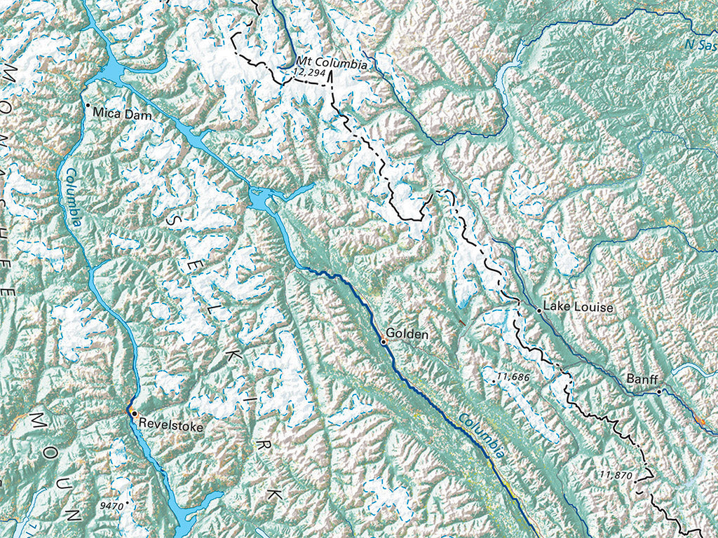
The Northern Rockies provide the glacial headwaters for most of the great rivers of central North America. The Flathead River country marks the south end of the narrow Rocky Mountain Trench, extending into north Alaska through uninterrupted continuous mountains on both sides.
The Rockies farther south display a very a different pattern of discrete ridges and outlying forested mountain blocks opening into the grasslands and farmlands of the Plains. Settlement is very light and markedly concentrated in a handful of small-to-mid-sized metropolitan areas.
The Northern Rockies regional map covers all of Idaho, Montana, and Wyoming. Neighboring portions of British Columbia, Alberta, Saskatchewan, the Dakotas, Colorado (a sliver), Utah, Nevada, Oregon and Washington are also shown.
Dimensions: All map dimensions are approximate.- Type: Flat Map
- Subtype: Wall Art
- Language: English
- Regions Covered: North America, North-central U.S./Great Plains
- Countries Covered: United States
- States Covered: Idaho, Montana, Wyoming
- UPC: 767020013624
- MPN: land-cover-of-the-northern-rockies
- Folded Size: N/A
- Unfolded Size: 24" (W) x 29" (H)
- Finish: Regular Paper