Raven Maps
Land Cover of the Northern Plains Fine Art Print Map
Land Cover of the Northern Plains Fine Art Print Map
Regular price
$75.00 USD
Regular price
Sale price
$75.00 USD
Unit price
per
Shipping calculated at checkout.
Couldn't load pickup availability
- SKU: PODRP_N_PLAINS_LC_26X27_WA
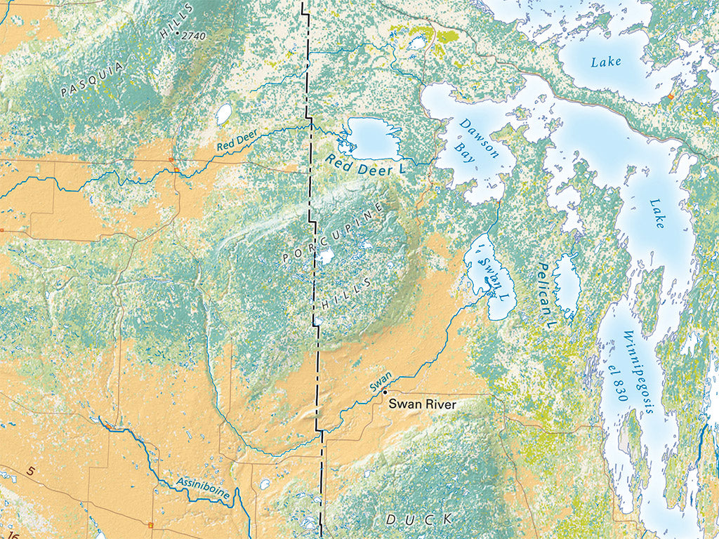
The Northern Plains north of the international boundary are nearly unbroken flat farmlands, bordered on the north and east by the vast northern forests, wetlands and shrublands bordering the Arctic. The Plains are formerly grasslands; before that, they were glacial outwash plains, including broad meltwater channels extending across the border. The Dakotas and Western Minnesota. Drainage was originally to the south, but the Red River now flows north through Lake Winnipeg to Hudson Bay.
Retreating glacial ice left huge debris piles which are now the forested higher blocks running diagonally across the Saskatchewan-Manitoba border.
Dimensions: All dimensions are approximate.
- Type: Flat Map
- Subtype: Wall Art
- Language: English
- Regions Covered: North America, North-central U.S./Great Plains
- Countries Covered: United States
- States Covered: Minnesota, North Dakota, South Dakota
- UPC: 767020013150
- MPN: land-cover-of-the-northern-plains-map
- Folded Size: N/A
- Unfolded Size: 26" (W) x 27" (H)
- Finish: Regular Paper