Raven Maps
Land Cover of the North Atlantic Coast Fine Art Print Map
Land Cover of the North Atlantic Coast Fine Art Print Map
Couldn't load pickup availability
- SKU: PODRP_NO_ATL_COAS_LC_31X21_WA
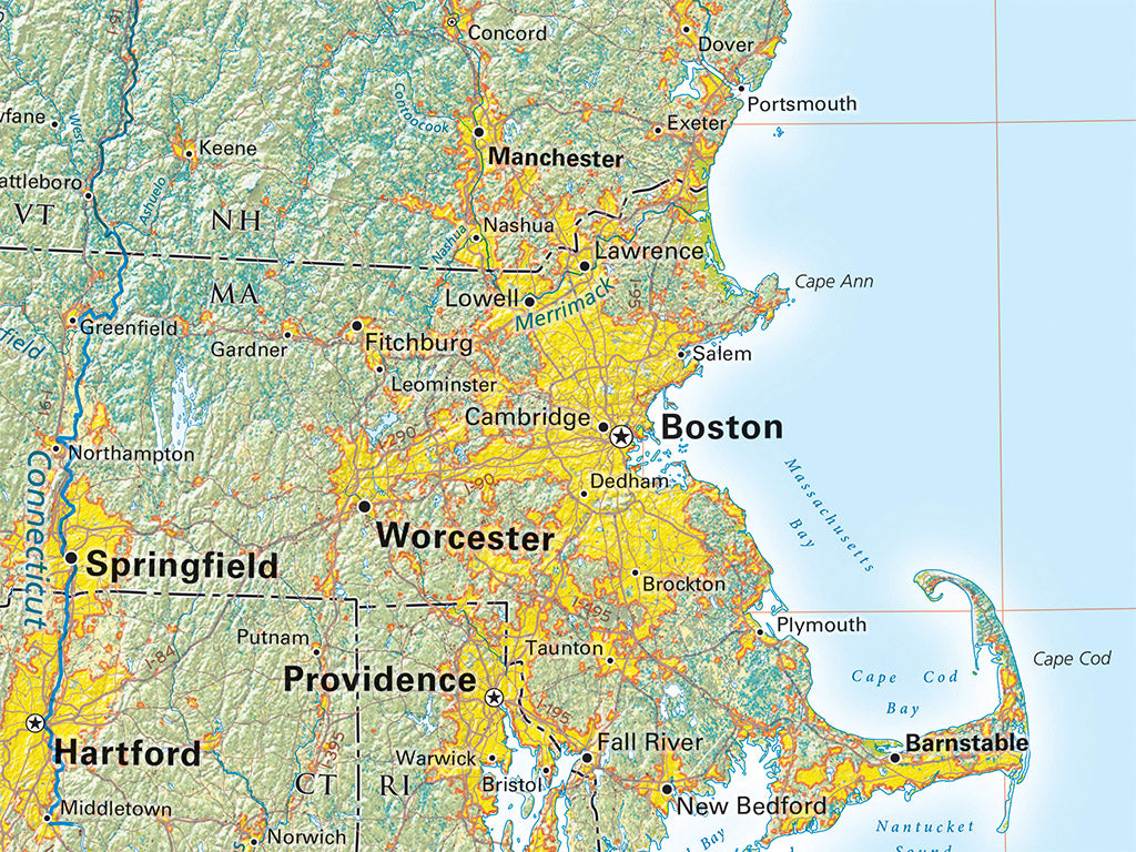
The North Atlantic Coast region’s interior includes vast forestlands north of the St. Lawrence River Valley, with barren lands, wetlands, and both mixed and evergreen forests. Farmlands dominate the St. Lawrence River Valley, with more limited concentrations in smaller river valleys and in a few coastal areas.
The pattern continues in the Maritime Provinces and in Maine. Within the U.S., this is overwhelmingly a land of deciduous and mixed forests and spreading Metro Area settlement. Evergreen Forests are locally dominant in limited areas of the Adirondack and White Mountains, and in the Pine Barrens of New Jersey.
Included on the map: All of New York, Pennsylvania, Rhode Island, Connecticut, Massachusetts, Vermont, New Hampshire, and Maine. Also, all of New Brunswick, Nova Scotia, Prince Edward Island, and quite a bit of New Jersey and Quebec, as well as a small portion of Ontario and Newfoundland and Labrador.
Dimensions: All dimensions are approximate.- Type: Flat Map
- Subtype: Wall Art
- Language: English
- Regions Covered: Mid-Atlantic/Northeastern U.S., North America
- Countries Covered: Canada, United States
- States Covered: Connecticut, Maine, Massachusetts, New Brunswick, New Hampshire, New York, Nova Scotia, Pennsylvania, Prince Edward Island, Rhode Island, Vermont
- UPC: 767020013563
- MPN: land-cover-of-the-north-atlantic-coast
- Folded Size: N/A
- Unfolded Size: 31" (W) x 21" (H)
- Finish: Regular Paper