Raven Maps
Land Cover of the Gulf Coast Fine Art Print Map
Land Cover of the Gulf Coast Fine Art Print Map
Couldn't load pickup availability
- SKU: PODRP_GULF_LC_35X19_WA
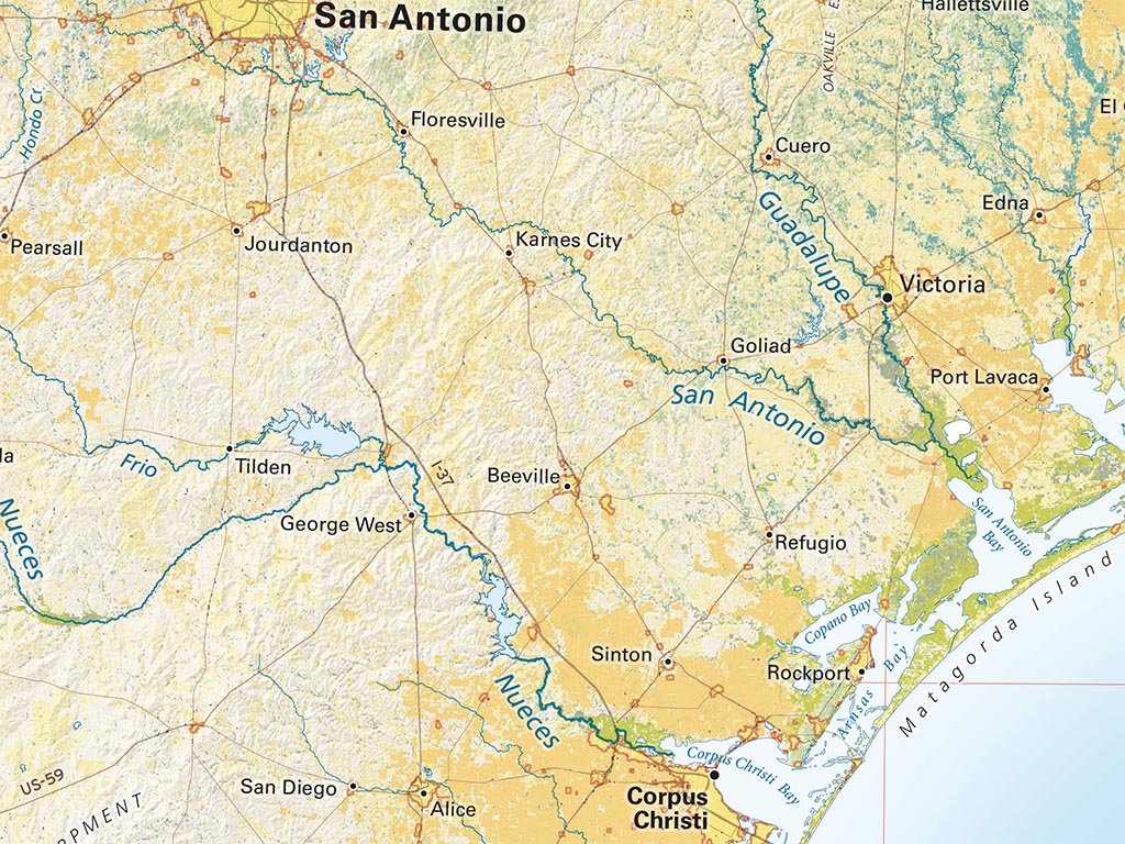
The Gulf Coast is notable for very extensive wetlands. Open marshlands include most of the Texas and Louisiana coastlines, and Florida’s famous Everglades. From the Mississippi Delta through Florida, heavily timbered woody wetlands are prominent. The country’s best known example is mostly in Georgia, but its Suwanee River outlet crosses Florida. Southwestern Florida includes a narrow fringe of the country’s only coastal mangrove swamp.
This map is centered roughly on New Orleans. It includes the Atlantic Coast up to Charleston, South Carolina; on the west, it extends along the entire Texas coast and another 150 miles south beyond the Rio Grande. The map covers much of Texas, all of Louisiana and Florida, and the southern halves of Mississippi, Alabama, and Georgia.
Dimensions: All dimensions are approximate
- Type: Flat Map
- Subtype: Wall Art
- Language: English
- Regions Covered: North America, Southern U.S.
- Countries Covered: United States
- States Covered: Florida, Georgia, Louisiana, Texas
- UPC: 767020012283
- MPN: land-cover-of-the-gulf-coast-map
- Folded Size: N/A
- Unfolded Size: 35" (W) x 19" (H)
- Finish: Regular Paper