Raven Maps
Land Cover of the Great Lakes Fine Art Print Map
Land Cover of the Great Lakes Fine Art Print Map
Couldn't load pickup availability
- SKU: PODRP_GR_LKS_LC_30X22_WA
The Great Lakes sit in the middle of multiple land cover classes. A mix of evergreen and deciduous forests and wetlands occupies nearly all the north. Predominately deciduous forests and woody wetlands dominate the west and south shores of Lake Superior and in Northern Michigan, along with localized evergreen forest belts.
Nearly unbroken farmlands fill most of the southern half of the region as far east as central Ohio on the U.S. side of the border. They extend all the way to Montreal and beyond in Canada.
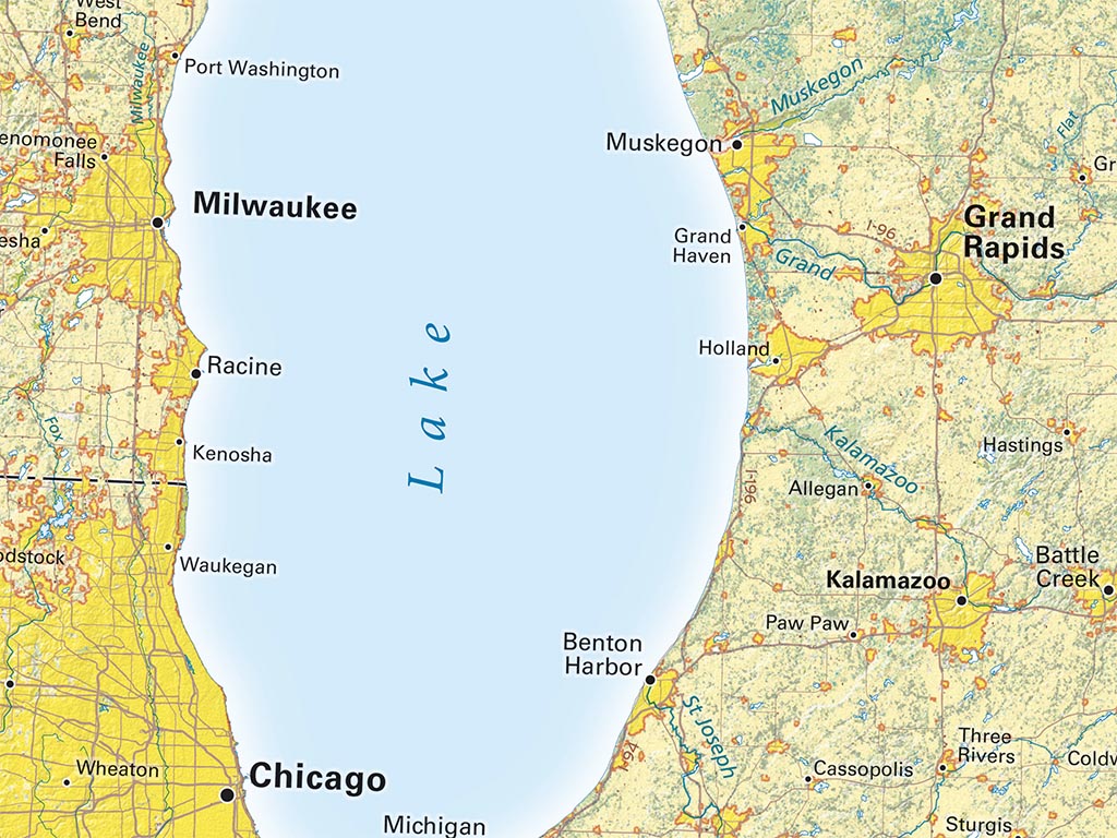
Included on the map: The entire states of Wisconsin and Michigan, most of Minnesota, Iowa, and New York, and parts of Indiana, Illinois, and Ohio. Also on the map are quite a bit of Ontario and Quebec as well as some of Manitoba.
Dimensions: All dimensions are approximate- Type: Flat Map
- Subtype: Wall Art
- Language: English
- Regions Covered: Midwest, North America
- States Covered: Iowa, Michigan, Minnesota, Ohio, Wisconsin
- UPC: 767020012191
- MPN: land-cover-of-the-great-lakes
- Folded Size: N/A
- Unfolded Size: 30" (W) x 22" (H)
- Finish: Regular Paper