Raven Maps
Land Cover of the Colorado Rockies Fine Art Print Map
Land Cover of the Colorado Rockies Fine Art Print Map
Couldn't load pickup availability
- SKU: PODRP_CO_ROCKY_LC_44X54_WA
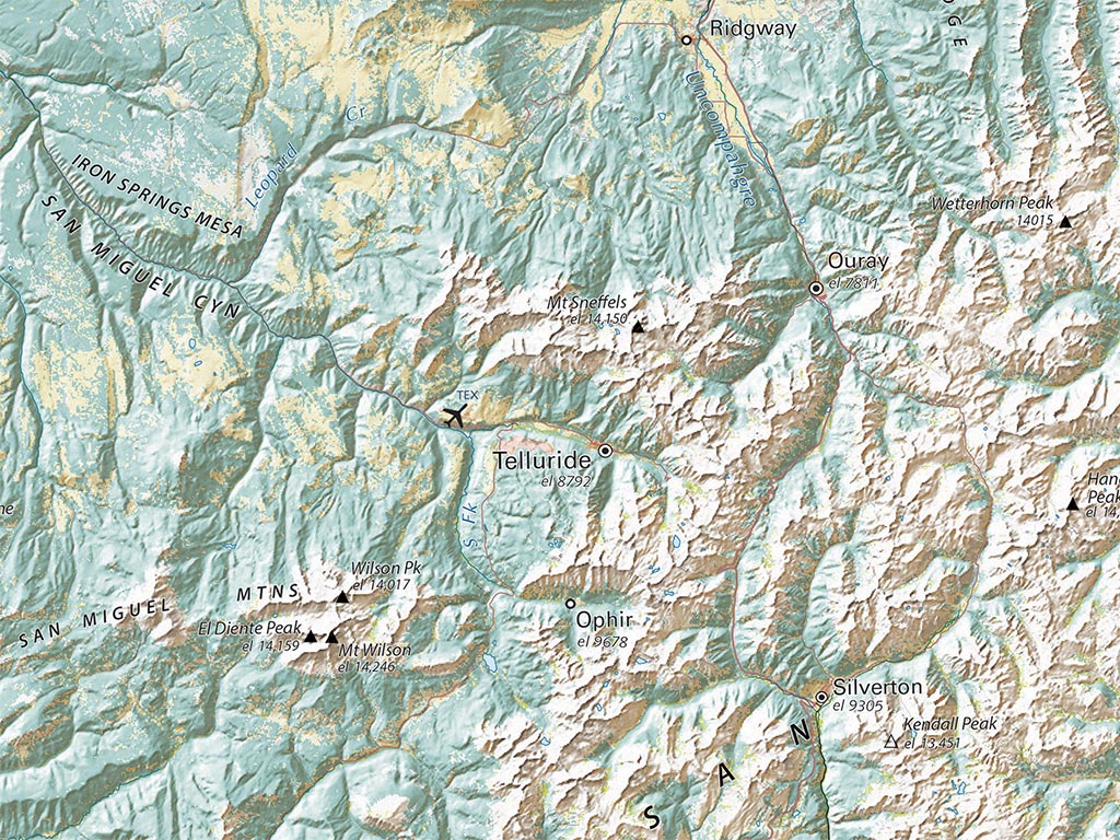
Our “Land Cover” treatment looks completely different from our traditional “elevations” treatment. The high plains east of the Front Range are sharply differentiated into grasslands, cultivated farmland, and built-up areas. Mid-elevation areas, shown in a range of tans and browns in the traditional version, are mostly forested, showing up here as dark greens, locally intermixed with pale grasslands or barren ground.
North Park, Middle Park, South Park, and the San Luis Valley are all predominantly pale grey barren or yellow grasslands, with bright green wetlands. The Yampa country, the Grand Valley and the Gunnison Basin are notably barren, apart from intense farming in the latter two.
Dimensions: All dimensions are approximate- Type: Flat Map
- Subtype: Wall Art
- Language: English
- Regions Covered: Central U.S., North America
- Countries Covered: United States
- States Covered: Colorado
- UPC: 767020011514
- MPN: colorado-rockies-fine-art-print-map
- Folded Size: N/A
- Unfolded Size: 44" (W) x 54" (H)
- Finish: Regular Paper