Raven Maps
Land Cover of California & The Great Basin Fine Art Print Map
Land Cover of California & The Great Basin Fine Art Print Map
Couldn't load pickup availability
- SKU: PODRP_CATGB_LC_39X50_WA
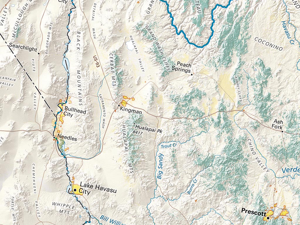
The Great Basin, as defined by interior drainage never reaching the sea, occupies most of Southeastern California, as well as a lot of Oregon, and most of Nevada and western Utah. Large neighboring areas share the same characteristic climate, dominant landforms, and bioregion, despite streams connecting to the Columbia-Snake or Colorado systems.
The geologically recent and still rising Cascades and Sierra Nevada create the rain/snow shadow that, together with its overall mountainous character, is the determining influence over the whole region. The Salt Lake Basin is the largest of the many sub-basins, many already entirely dry after long periods as snow- and glacial-meltwater lakes.
Included on the map are all of California and Nevada, almost all of Utah and Arizona, half of Oregon and Idaho, some of Montana and Wyoming, along with smaller portions of New Mexico, Baja California, and Sonora.
Dimensions: All map dimensions are approximate.
- Type: Flat Map
- Subtype: Wall Art
- Language: English
- Regions Covered: North America, Pacific U.S., Southwestern U.S., Western U.S.
- States Covered: Arizona, California, Idaho, Nevada, Oregon, Utah
- UPC: 767020011170
- MPN: land-cover-of-california-and-the-great-basiin
- Folded Size: N/A
- Unfolded Size: 39" (W) x 50" (H)
- Finish: Regular Paper