1
/
of
1
TASMAP
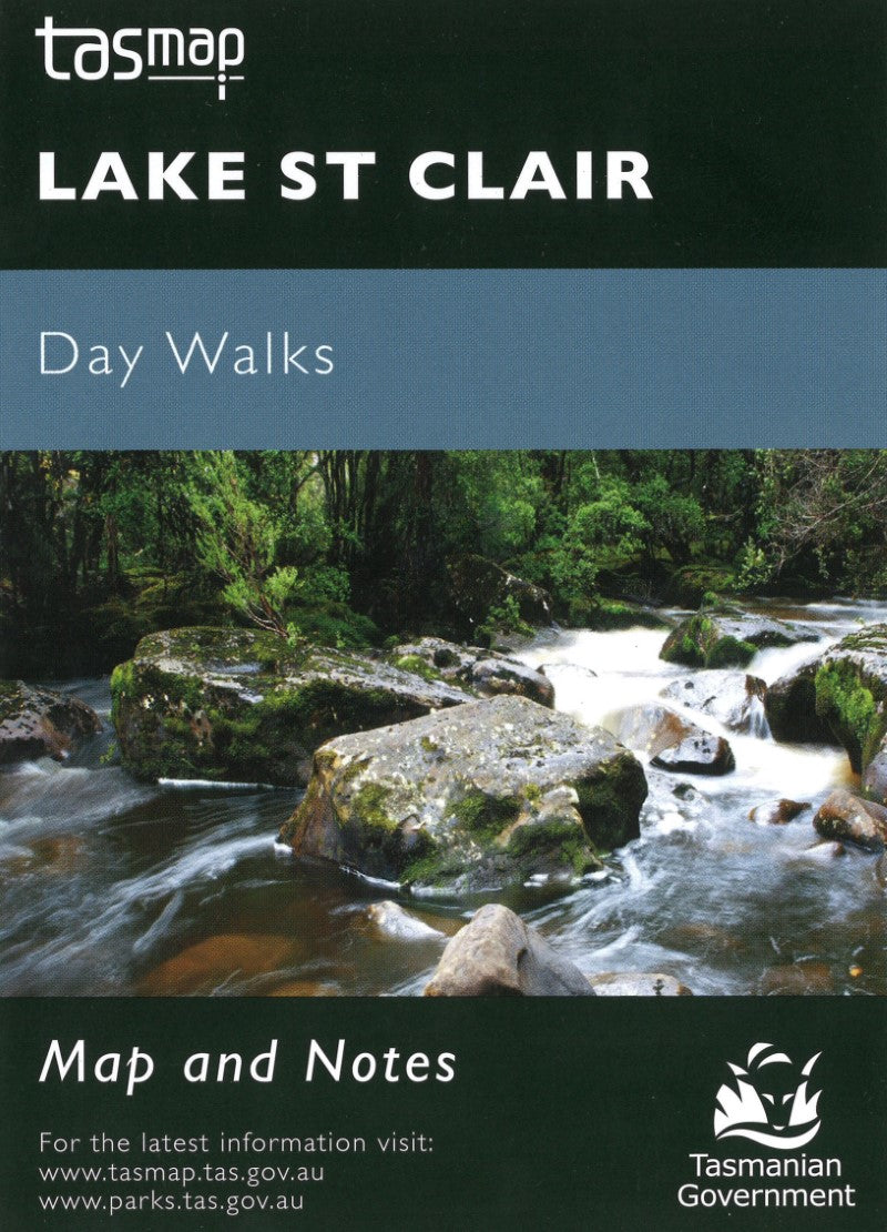
Lake St Clair Day Walks Map
Lake St Clair Day Walks Map
Regular price
$9.99 USD
Regular price
Sale price
$9.99 USD
Unit price
/
per
Shipping calculated at checkout.
Low stock
Couldn't load pickup availability
- SKU: TAS_ST_CLAIR_23
Cradle Mountain-Lake St Clair National Park encompasses a wide range of rugged mountain scenery, glacial tarns, forest and alpine moorlands. At 167m Lake St Clair is the deepest lake in Australia.
This map highlights the walking tracks and features tourist information along with general topographic detail. The notes on the reverse side contain information on the walking tracks around the lake and nearby mountains, bushwalking tips and safety essentials.
- Type: Folded Map
- Subtype: Park
- Language: English
- Publication Date: 2023-06-01
- Scale: 1:50,000
- Regions Covered: Australasia, Oceania, Pacific Ocean
- Countries Covered: Australia
- States Covered: Tasmania
- ISBN: 9318923008128
- MPN: WKSCLAIR
- Folded Size: 4" (W) x 6" (H)
- Unfolded Size: N/A
- Weight: 1 oz


