1
/
of
1
Fishing Hot Spots
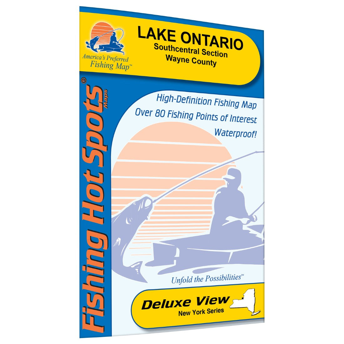
Lake Ontario, Southcentral Section Fishing Map, Wayne County
Lake Ontario, Southcentral Section Fishing Map, Wayne County
Regular price
$14.95 USD
Regular price
Sale price
$14.95 USD
Unit price
/
per
Shipping calculated at checkout.
Couldn't load pickup availability
- SKU: FHS_ONTARIO_M499_
- Lake Ontario, the 15th largest lake in the world, is famous for rapidly changing weather conditions. Lake Ontario has a surface area of 7,530 square miles and a maximum depth of 802 feet. This map covers about 500 square miles of the main basin, with a max depth of nearly 700 feet.
- Type: Folded Map
- Subtype: Fishing
- Language: English
- Regions Covered: Mid-Atlantic/Northeastern U.S., North America
- Countries Covered: United States
- States Covered: New York
- UPC: 071365004996
- MPN: M499
- Folded Size: 6" (W) x 9" (H)
- Unfolded Size: 36" (W) x 24" (H)
- Weight: 2 oz


