Kompass
Lake Garda Hiking Map
Lake Garda Hiking Map
Couldn't load pickup availability
- SKU: KOM_102_GLL_25
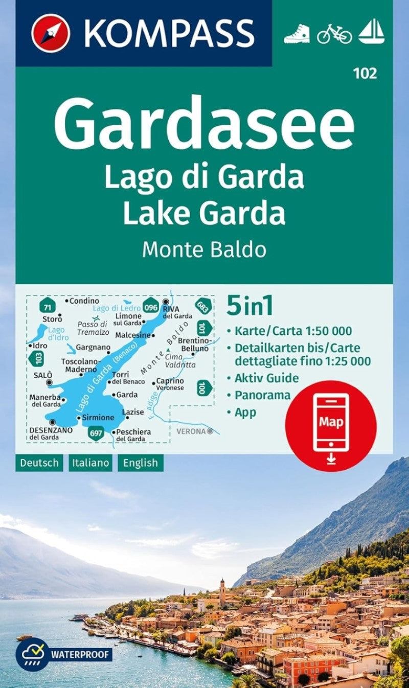
The 5in1 hiking map is now even clearer and easier to read. The hiking map is equipped with an additional panorama. The Aktiv Guide informs you about the outdoor topic and the free app on the go is also available. This forms the perfect basis for planning a hiking tour.
The precise cartography shows all walkways including classification. Information such as swimming pools, via ferrata, children's playgrounds, cabins and much more is also included on the map.
Thanks to the tear and weatherproof paper quality, the card is a faithful companion in any weather.
The GPS-accurate KOMPASS maps are perfect for your next tour! The user-friendly scale and useful information about the region make your planning easier. Each map contains everything worth knowing for the outdoor connoisseur: hiking and biking trails with markings depending on the level of difficulty, corresponding contour lines and vegetation forms as well as comprehensive tourist information.
Eines der meist besuchten Ausflugs- und Urlaubsziele Europas, über 2 Millionen Gäste pro Jahr, vor allem für Sport- und Badefreunde. Speziell der nördliche Bereich ist Outdoormagnet: Surfen, Klettern, Biken, Wandern, Paragleiten... Seinem mediterranen Klima ist es zu verdanken, dass in dieser Südalpenlandschaft Oliven, Zitronen und fruchtige Weine gedeihen sowie Zypressen, Pinien oder Palmen zu finden sind. Viele Touren entlang ehemaliger Frontlinien des 1. Weltkrieges in felsigen Bergflanken, die durch Ex-Stellungen und Höhlen wie ein Schweizer Käse durchbohrt sind. Touren für jedermann: Spaziergänge am Ufer oder zu Bergdörfern, Entdeckungen in der Natur oder die Besteigung der wichtigsten Gipfel. Eindrucksvolle Panoramablicke sind dabei auf fast jeder dieser zu erwarten. Der alpine Gebirgskamm des Monte Baldo, vor allem im Bereich der Cima Valdritta, zieht jedes Jahr Bergsteiger in seinen Bann und fordert Kondition und Mut. Als Gegenleistung gibt es ein einzigartiges Dauerpanorama.
- Type: Folded Map
- Subtype: Hiking
- Language: English, French, German, Italian
- Publication Date: 2024-09-04
- Scale: 1:50000
- Regions Covered: Alps, Europe, Western Europe
- Countries Covered: Italy
- ISBN: 9783991540861
- MPN: 102
- Folded Size: 5" (W) x 7.5" (H)
- Unfolded Size: 43" (W) x 29" (H)
- Weight: 6.9 oz