Mapple
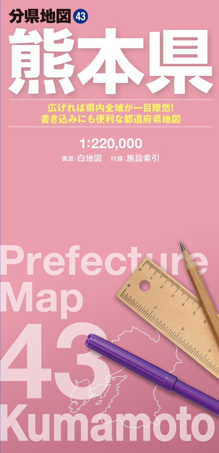
Kumamoto Prefecture Map
Kumamoto Prefecture Map
Couldn't load pickup availability
- SKU: MAPP_P_43_25
Get a complete view of Kumamoto Prefecture with this large-format fold-out map. Part of the popular Prefectural Map Series, it displays the entire prefecture on a single oversized sheet, offering a perspective that’s difficult to achieve with online or smartphone maps. Its dual-sided design allows you to write, mark, or decorate the map, making it ideal for planning, research, or creating a personalized map.
Product Overview
Main Map
- Entire Kumamoto Prefecture
- Scale: 1:220,000
Blank Map (Reverse Side)
- Simplified white map for notes, routes, and custom markings
- Perfect for planning trips, recording visits, or creative projects
Included Reference Booklet
Quickly locate key places with a detailed index covering:
- Major natural landmarks
- Tourist attractions
- Airports
- Roadside stations (Michi-no-Eki)
- Municipal offices and public facilities
Key Features
Full-Region Perspective
The large 62 × 88 cm sheet provides a bird’s-eye view of the entire prefecture, making it easy to understand distances, location relationships, and travel routes at a glance.
Clear & Readable Design
- Differentiated line thickness, colors, and text sizes improve readability
- Contour-based color gradients visually represent elevation changes
- Roads, railways, administrative boundaries, and terrain are clearly depicted
Customizable Blank Map
The reverse side offers a writable map with just the right amount of detail to:
- Track visited locations
- Plan routes or trips
- Create educational or research maps
- Design disaster-preparedness and hazard maps
Compact & Portable
Despite its large display, the map folds down to just 10 × 21 cm, making it convenient to carry in a bag or backpack.
Ideal Uses
- Business & professional: distribution mapping, store location planning, market analysis
- Travel & recreation: route planning, trip research, destination tracking
- Education & research: classroom projects, geography studies
- Emergency preparedness: disaster and hazard map creation
Product Specifications
- Map (Unfolded): 62 × 88 cm
- Package: 10.3 × 21.3 × 0.85 cm
About the Series
Combining a detailed full-region map with a customizable blank side, the Prefectural Map Series is perfect for travelers, students, researchers, businesses, and map enthusiasts. Understand, plan, and interact with each prefecture in a way that digital maps can’t match.
- Type: Folded Map
- Subtype: Road
- Language: Japanese
- Publication Date: 2025-01-24
- Scale: 1:220,000
- Regions Covered: Asia, East Asia, Pacific Ocean
- Countries Covered: Japan
- States Covered: Kumamoto
- ISBN: 9784398764935
- Folded Size: 4" (W) x 8" (H)
- Unfolded Size: 31" (W) x 21.45" (H)