1
/
of
1
Reise Know-How Verlag
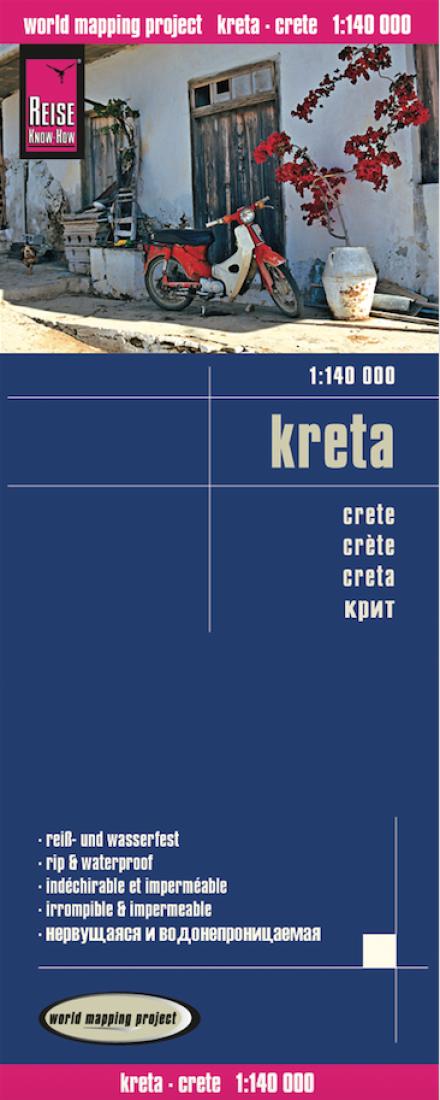
Kreta = Crete = Crète = Creta
Kreta = Crete = Crète = Creta
Regular price
$14.95 USD
Regular price
Sale price
$14.95 USD
Unit price
/
per
Shipping calculated at checkout.
Couldn't load pickup availability
- SKU: RKH_CRETE_15
- Crete at 1:140,000 on a clear, indexed map with topographic and tourist information, printed on light, waterproof and tear-resistant plastic paper. The map, published by Reise Know-How as part of their highly acclaimed World Mapping Project, divides the island east/west with an overlap between the sides. Topography is shown by altitude colouring with contours and numerous spot heights, plus names of various geographical features. Road network shows local roads and tracks, gives driving distances on main and secondary roads. Ferry routes are also marked. The map highlights various places of interest including churches and monasteries, archaeological sites, beaches, view points, etc. Names of towns and villages are given in both Greek and Latin alphabets; geographical features and places of interest are in the Latin alphabet only. The map is indexed and has latitude and longitude grid at intervals of 10’. Map legend includes English.
- Type: Folded Map
- Subtype: Road
- Language: English, French, German, Russian, Spanish
- Publication Date: 2015-06-01
- Scale: 1:140,000
- Regions Covered: Balkans, Europe, Mediterranean Sea
- Countries Covered: Greece
- ISBN: 9783831772933
- Folded Size: 4.72" (W) x 10.24" (H)
- Unfolded Size: 27.56" (W) x 39.37" (H)
- Weight: 2.8 oz


