1
/
of
1
Reise Know-How Verlag
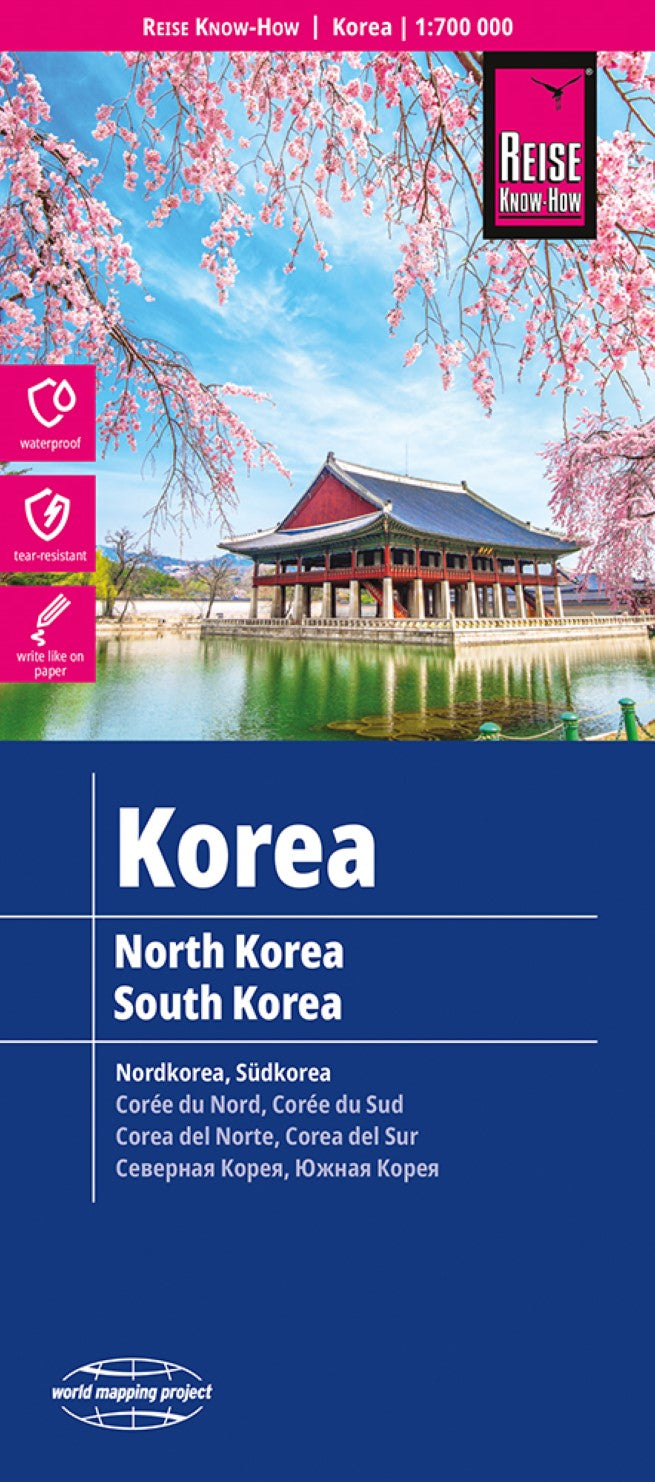
Korea Road Map
Korea Road Map
Regular price
$14.95 USD
Regular price
Sale price
$14.95 USD
Unit price
/
per
Shipping calculated at checkout.
Couldn't load pickup availability
- SKU: RKH_KOREA_23
- North and South Korea at 1:700,000 on a light, waterproof and tear-resistant map, published by Reise Know-How as part of their highly acclaimed World Mapping Project. The map is double-sided to provide the best balance between a good scale and a convenient size sheet. Altitude colouring shows the topography, with names of mountain ranges and peaks, plus numerous spot heights and boundaries of national parks. The map shows the road and rail networks of the two countries, indicating within South Korea the KTX express lines. Domestic airports and ferry routes are also marked. In both countries driving distances are given on many smaller local roads. The map indicates internal administrative boundaries with names of the provinces. Names of most larger towns are also given in the Korean alphabet. Within South Korea numerous places of interest are highlighted, including Korean War battle sites; in North Korea the sights are mainly around the Pyongyang. The map has latitude and longitude lines at intervals of 30’ and an extensive index plus a list of national parks in South Korea. Map legend includes English. *”World Mapping Project”* is an extensive series of maps at varying scales, aiming to provide coverage of countries and regions worldwide using clear, well presented cartography with both topographic and tourist information.
- Type: Folded Map
- Subtype: Road
- Language: English, French, German, Russian, Spanish
- Publication Date: 2023-05-01
- Scale: 1:700000
- Regions Covered: Asia, East Asia
- Countries Covered: Korea, North, Korea, South
- ISBN: 9783831772537
- Folded Size: 4.72" (W) x 10.24" (H)
- Unfolded Size: 27.56" (W) x 39.37" (H)
- Weight: 2.8 oz


