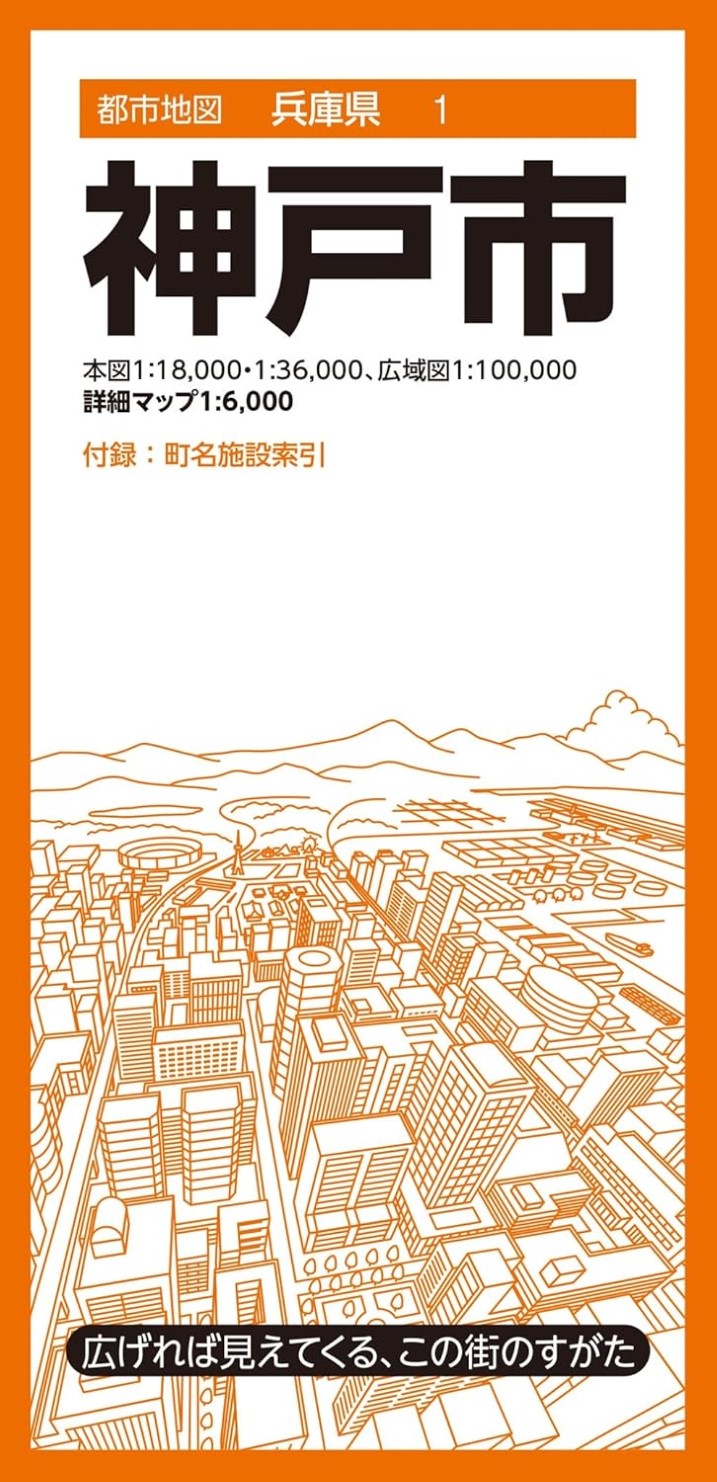
City Map Series – Kobe City Detailed Map
A comprehensive fold-out map packed with practical city information.
The City Map series offers detailed, large-format maps for over 1,000 cities and towns across Japan, providing a clear and useful overview for everyday life, business, and travel.
Product Overview
Main Maps:
Kobe City (East Area / West Area) – 1:18,000
Inset Maps:
Fujiwaradai, Kande, Kobe Airport – 1:36,000
Supplement (Front): Enlarged Map of Central Kobe – 1:6,000
Supplement (Back): Wide-Area Map of Greater Kobe – 1:100,000
Includes indexes for town names and major facilities such as government offices, public institutions, and key buildings.
Product Size
Map Size: 109.1 × 78.8 × 0.01 cm
Package Size: 10.3 × 21.3 × 1.35 cm
Series Highlights
• See the City at a Glance
Each large-format sheet provides a full view of the city or municipality, clearly showing its structure and unique features. Packed with local information useful for daily life.
• Accurate, Easy-to-Read Details
Faithfully represents essential geographic data—roads, railways, addresses, public and commercial facilities, and natural features.
Convenience stores, fast food chains, and gas stations are displayed with recognizable logo symbols for intuitive reading.
• Town & Facility Index Included
Color-coded areas and an easy-to-use index of town names and facilities make it simple to locate any address or landmark.
• Versatile for Multiple Uses
Ideal for sales route planning, area marketing, real estate work, distribution maps, community safety or disaster-preparedness mapping, or even as a gift for new residents and students.