1
/
of
1
MapArt Publishing Corporation
Kitchener : Waterloo : street atlas
Kitchener : Waterloo : street atlas
Regular price
$9.95 USD
Regular price
Sale price
$9.95 USD
Unit price
/
per
Shipping calculated at checkout.
Couldn't load pickup availability
- SKU: CCC_KITCHEN_AT_19
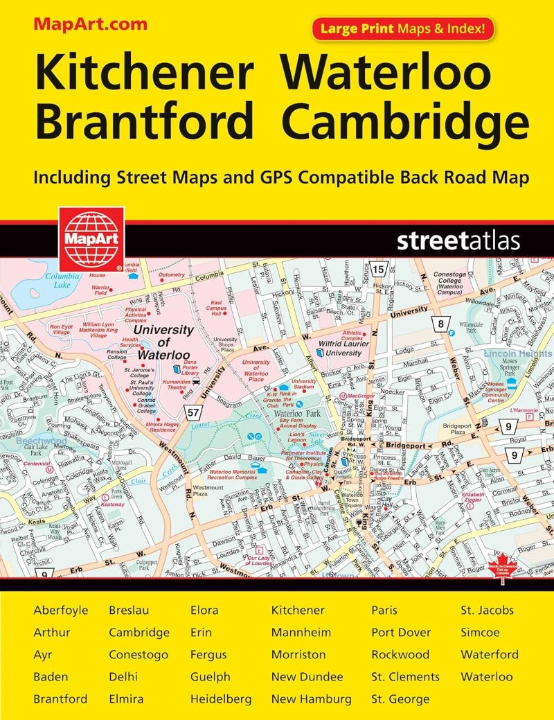
- CCC Maps’ Kitchener & Waterloo street atlas has all the features to make even the unfamiliar areas easy to navigate. Includes city maps of: Aberfoyle, Arthur, Ayr, Baden, Brantford, Breslau, Cambridge, Conestogo, Delhi, Elmira, Elora, Erin, Fergus, Guelph, Heidelberg, Kitchener, Mannheim, Morriston, New Dundee, New Hamburg, Paris, Port Dover, Rockwood, St. Clements, St. Jacobs, Simcoe, Waterford and Waterloo. Features regional maps, arenas, golf courses, parks, points of interest, hospitals, schools, skiing and much more.
- Type: Paperback Atlas
- Subtype: Popular/Travel
- Language: English
- Scale: Scales differ
- Regions Covered: North America
- Countries Covered: Canada
- States Covered: Ontario
- ISBN: 9781551982861
- UPC: 066770102863
- Folded Size: N/A
- Unfolded Size: 11.02" (W) x 8.66" (H)
- Weight: 7.9 oz


